Enable Location

We need your location to show you interesting places around you

Discover nearby places

Find interesting locations and hidden gems around you

Precise directions

Get accurate directions and distances to places

Your location is never shared with other users. It's only used when you tap the location button.

Passu Sar

Log in to your account

Start exploring — it's free

Trusted by 62,828 travelers worldwide

Continue with Google
Continue with Apple
or

We will send you a code to connect

By continuing, you accept our Terms and Conditions and our Privacy Policy

Check your inbox

We've sent a pincode in your inbox. Please enter the code below.

Passu Sar

Passu Sar, Mountain summit in Gilgit District, Pakistan.

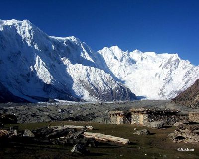
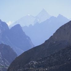
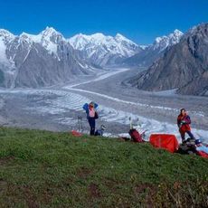
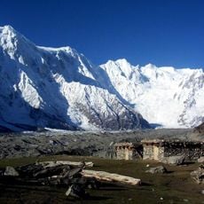
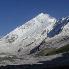
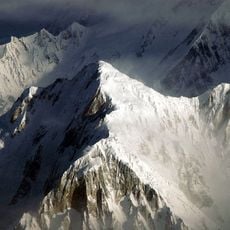
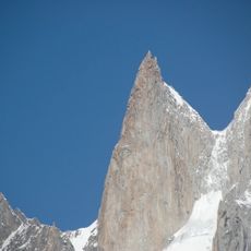
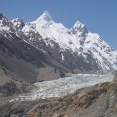
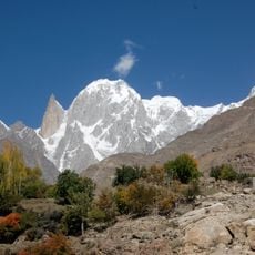
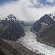
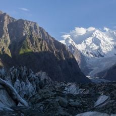
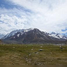
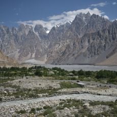
Passu Sar is a mountain summit in the Batura Muztagh section of the Karakoram range, standing at 7,478 meters above sea level. The peak is characterized by steep ice faces and numerous crevasses that define its challenging terrain.

The first documented ascent took place in 1994 when a German expedition team reached the summit, opening this high-altitude route to mountaineers. The successful climb established the peak as an accessible target for experienced alpinists in the region.

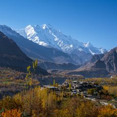
The mountain name originates from local languages of the Hunza Valley, where different ethnic groups maintain their traditional practices in surrounding settlements.

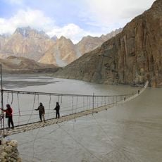
Climbers require between 500 and 700 meters of rope, ice screws, snow tubes, and ladder systems to navigate the technical sections. Proper mountaineering experience and specialized high-altitude equipment are important for safe passage.

The peak stands approximately 7 kilometers east of Batura Sar and forms a natural boundary within Khunjerab National Park. Its prominence of 647 meters above neighboring peaks makes it visually distinct within the surrounding mountain landscape.

The community of curious travelers

AroundUs brings together thousands of curated places, local tips, and hidden gems, enriched daily by 60,000 contributors worldwide.

Start exploring
Location
Elevation above the sea
7,478 m
GPS coordinates
36.49152,74.64502
Latest update
December 10, 2025 16:28
« Passu Sar - Mountain summit in Gilgit District, Pakistan » is provided by Around Us (aroundus.com). Images and texts are derived from Wikimedia project under a Creative Commons license. You are allowed to copy, distribute, and modify copies of this page, under the conditions set by the license, as long as this note is clearly visible.

Discover hidden gems everywhere you go!

From secret cafés to breathtaking viewpoints, skip the crowded tourist spots and find places that match your style. Our app makes it easy with voice search, smart filtering, route optimization, and insider tips from travelers worldwide. Download now for the complete mobile experience.

Around Us App Screenshot

A unique approach to discovering new places

Le Figaro

All the places worth exploring

France Info

A tailor-made excursion in just a few clicks

20 Minutes

Around Us
Travel Guide & Maps
Download

Send to your phone

QR Code
1

Open the camera app on your mobile.

2

Point at the QR code with your camera. A notification will appear.

3

Tap the notification to open the link.