Enable Location

We need your location to show you interesting places around you

Discover nearby places

Find interesting locations and hidden gems around you

Precise directions

Get accurate directions and distances to places

Your location is never shared with other users. It's only used when you tap the location button.

Sangemarmar Sar

Log in to your account

Start exploring — it's free

Trusted by 62,832 travelers worldwide

Continue with Google
Continue with Apple
or

We will send you a code to connect

By continuing, you accept our Terms and Conditions and our Privacy Policy

Check your inbox

We've sent a pincode in your inbox. Please enter the code below.

Sangemarmar Sar

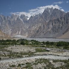
Sangemarmar Sar, Mountain peak in Batura Muztagh, Pakistan

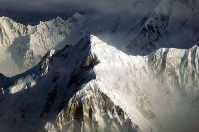
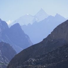
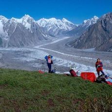
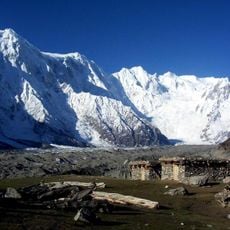
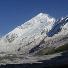
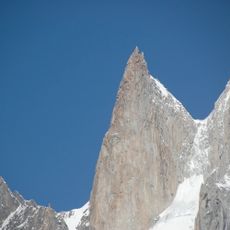
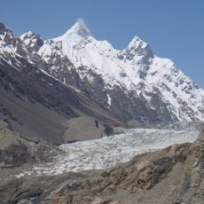
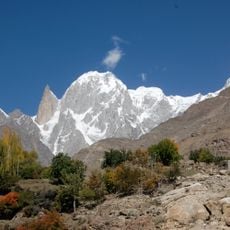
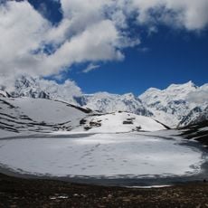
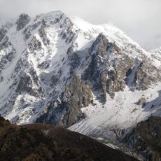
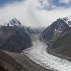
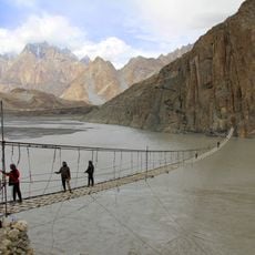
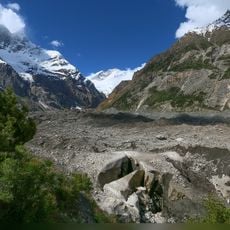
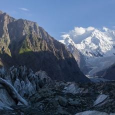
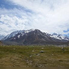
Sangemarmar Sar is a mountain peak in the Batura Muztagh that stands between the Muchuhar Glacier and the Shispare Glacier in the Karakoram range. The summit reaches approximately 6,949 meters and dominates the rocky glacier-carved landscape of this isolated mountain zone.

The mountain was first summited by a Japanese team from Osaka University in July 1984 via the southwest ridge. This achievement marked an important milestone in the mountaineering exploration of this remote Karakoram area.

The peak takes its name from Persian, meaning 'marble ore', inspired by the striking yellow marble band that runs across its summit section. This distinctive feature makes the mountain recognizable to climbers from great distances.

Reaching this peak requires official permits and experienced local guides who know the terrain and conditions. Summer months provide the best opportunity for an ascent attempt when weather patterns are more favorable.

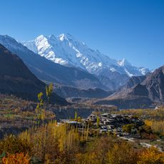
The summit stands more than 5,000 meters above the Hunza River, yet sits only about 15 kilometers away horizontally. This extreme elevation difference across such a short distance reveals the dramatic topography of this mountain region.

The community of curious travelers

AroundUs brings together thousands of curated places, local tips, and hidden gems, enriched daily by 60,000 contributors worldwide.

Start exploring
Elevation above the sea
6,949 m
GPS coordinates
36.42582,74.56020
Latest update
December 10, 2025 16:20
« Sangemarmar Sar - Mountain peak in Batura Muztagh, Pakistan » is provided by Around Us (aroundus.com). Images and texts are derived from Wikimedia project under a Creative Commons license. You are allowed to copy, distribute, and modify copies of this page, under the conditions set by the license, as long as this note is clearly visible.

Discover hidden gems everywhere you go!

From secret cafés to breathtaking viewpoints, skip the crowded tourist spots and find places that match your style. Our app makes it easy with voice search, smart filtering, route optimization, and insider tips from travelers worldwide. Download now for the complete mobile experience.

Around Us App Screenshot

A unique approach to discovering new places

Le Figaro

All the places worth exploring

France Info

A tailor-made excursion in just a few clicks

20 Minutes

Around Us
Travel Guide & Maps
Download

Send to your phone

QR Code
1

Open the camera app on your mobile.

2

Point at the QR code with your camera. A notification will appear.

3

Tap the notification to open the link.