Enable Location

We need your location to show you interesting places around you

Discover nearby places

Find interesting locations and hidden gems around you

Precise directions

Get accurate directions and distances to places

Your location is never shared with other users. It's only used when you tap the location button.

Log in to your account

Start exploring — it's free

Trusted by 62,422 travelers worldwide

Continue with Google
Continue with Apple
or

We will send you a code to connect

By continuing, you accept our Terms and Conditions and our Privacy Policy

Check your inbox

We've sent a pincode in your inbox. Please enter the code below.

Gilgit District

Gilgit District, Administrative district in Gilgit-Baltistan, Pakistan.

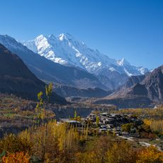
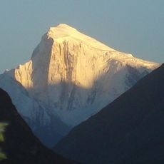
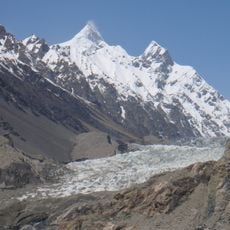
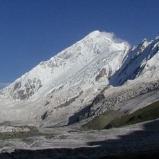
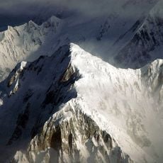
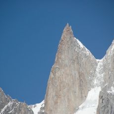
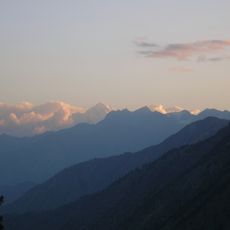
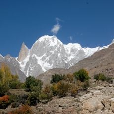
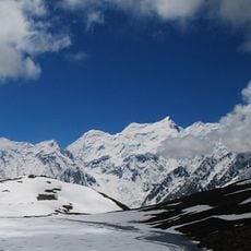
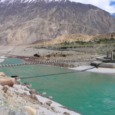
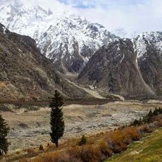
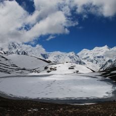
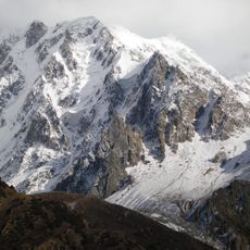
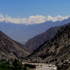
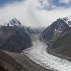
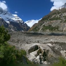
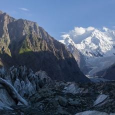
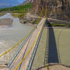
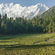
Gilgit District is an administrative region in Gilgit-Baltistan with mountains, valleys, and rivers throughout. The terrain features high peaks, some exceeding 7,000 meters, along with glaciers and mountain lakes in the upper elevations.

The district was administratively restructured in 1970, uniting the former Gilgit Agency with neighboring areas. This reorganization established the current boundaries and administrative framework of the region.

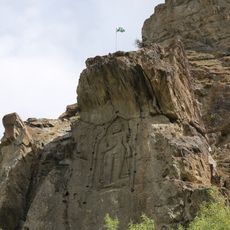
Local communities speak Shina, Balti, and Burushaski and practice different branches of Islam across the region. This diversity shapes daily life in settlements where various groups maintain their own traditions and customs.

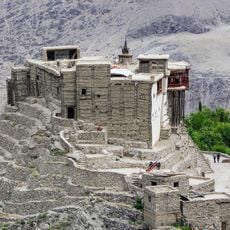
The district divides into three administrative subdivisions: Danyor Tehsil, Gilgit Tehsil, and Juglot Tehsil, with the city of Gilgit serving as the main administrative center. Essential services and facilities are based around the district headquarters.

The region contains Distaghil Sar, one of Pakistan's highest peaks at approximately 7,885 meters. Multiple glaciers and alpine lakes add to the dramatic landscape of this mountainous area.

The community of curious travelers

AroundUs brings together thousands of curated places, local tips, and hidden gems, enriched daily by 60,000 contributors worldwide.

Start exploring
Location
Inception
July 1, 1970
Capital city
Gilgit
GPS coordinates
35.91670,74.30000
Latest update
December 7, 2025 20:45
« Gilgit District - Administrative district in Gilgit-Baltistan, Pakistan » is provided by Around Us (aroundus.com). Images and texts are derived from Wikimedia project under a Creative Commons license. You are allowed to copy, distribute, and modify copies of this page, under the conditions set by the license, as long as this note is clearly visible.

Discover hidden gems everywhere you go!

From secret cafés to breathtaking viewpoints, skip the crowded tourist spots and find places that match your style. Our app makes it easy with voice search, smart filtering, route optimization, and insider tips from travelers worldwide. Download now for the complete mobile experience.

Around Us App Screenshot

A unique approach to discovering new places

Le Figaro

All the places worth exploring

France Info

A tailor-made excursion in just a few clicks

20 Minutes

Around Us
Travel Guide & Maps
Download

Send to your phone

QR Code
1

Open the camera app on your mobile.

2

Point at the QR code with your camera. A notification will appear.

3

Tap the notification to open the link.