Enable Location

We need your location to show you interesting places around you

Discover nearby places

Find interesting locations and hidden gems around you

Precise directions

Get accurate directions and distances to places

Your location is never shared with other users. It's only used when you tap the location button.

Bularung Sar

Log in to your account

Start exploring — it's free

Trusted by 62,828 travelers worldwide

Continue with Google
Continue with Apple
or

We will send you a code to connect

By continuing, you accept our Terms and Conditions and our Privacy Policy

Check your inbox

We've sent a pincode in your inbox. Please enter the code below.

Bularung Sar

Bularung Sar, Mountain summit in Hunza District, Pakistan.

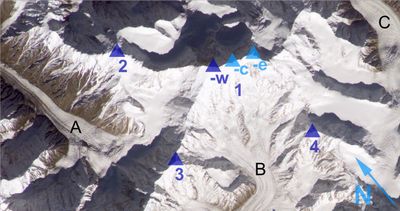
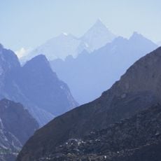
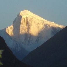
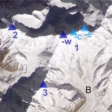
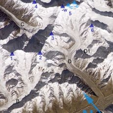
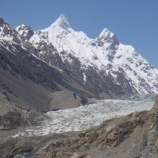
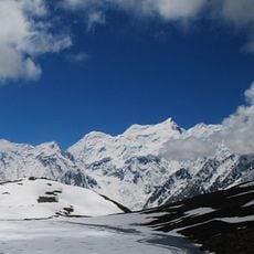
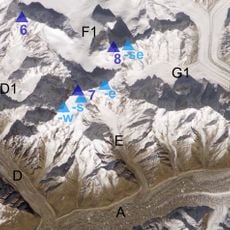
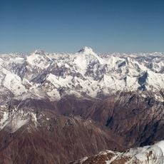
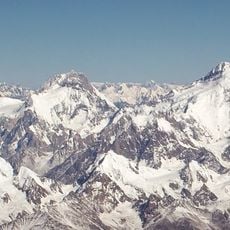
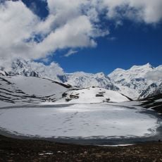
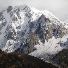
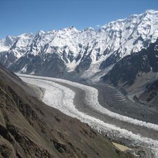
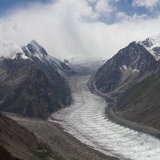
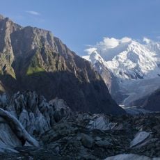
Bularung Sar is a mountain summit in the Hispar Mustagh range, located between two neighboring peaks in the heart of this snow-covered massif. The peak rises to 7,134 meters and is surrounded by steep, icy slopes that define its character.

The first successful climb took place in July 1990 when members of the Swiss Alpine Club Neuchâtel Section reached the summit. This achievement marked an important moment in the mountaineering history of the Hispar Mustagh region.

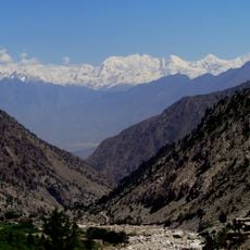
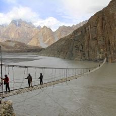
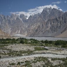
The mountain resides near the Hunza Valley, where local inhabitants known as Hunzakuts maintain traditional agricultural practices and cultivate apricot orchards.

Visitors must prepare for extended trekking routes across glacier fields and should hire local porters to transport equipment from nearby villages. Altitude acclimatization and good physical fitness are essential for this challenging route.

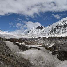
The route to the summit requires crossing a distinctive granite tower rising about 200 meters near the base of the climb. The path then continues over multiple hanging glaciers before reaching the final summit ridge.

The community of curious travelers

AroundUs brings together thousands of curated places, local tips, and hidden gems, enriched daily by 60,000 contributors worldwide.

Start exploring
Location
Hunza District
Elevation above the sea
7,134 m
GPS coordinates
36.30211,75.13487
Latest update
December 14, 2025 20:31
« Bularung Sar - Mountain summit in Hunza District, Pakistan » is provided by Around Us (aroundus.com). Images and texts are derived from Wikimedia project under a Creative Commons license. You are allowed to copy, distribute, and modify copies of this page, under the conditions set by the license, as long as this note is clearly visible.

Discover hidden gems everywhere you go!

From secret cafés to breathtaking viewpoints, skip the crowded tourist spots and find places that match your style. Our app makes it easy with voice search, smart filtering, route optimization, and insider tips from travelers worldwide. Download now for the complete mobile experience.

Around Us App Screenshot

A unique approach to discovering new places

Le Figaro

All the places worth exploring

France Info

A tailor-made excursion in just a few clicks

20 Minutes

Around Us
Travel Guide & Maps
Download

Send to your phone

QR Code
1

Open the camera app on your mobile.

2

Point at the QR code with your camera. A notification will appear.

3

Tap the notification to open the link.