Enable Location

We need your location to show you interesting places around you

Discover nearby places

Find interesting locations and hidden gems around you

Precise directions

Get accurate directions and distances to places

Your location is never shared with other users. It's only used when you tap the location button.

Karakoram Highway

Log in to your account

Start exploring — it's free

Trusted by 62,823 travelers worldwide

Continue with Google
Continue with Apple
or

We will send you a code to connect

By continuing, you accept our Terms and Conditions and our Privacy Policy

Check your inbox

We've sent a pincode in your inbox. Please enter the code below.

Karakoram Highway

Karakoram Highway, International mountain road between Kashgar and Islamabad, China and Pakistan

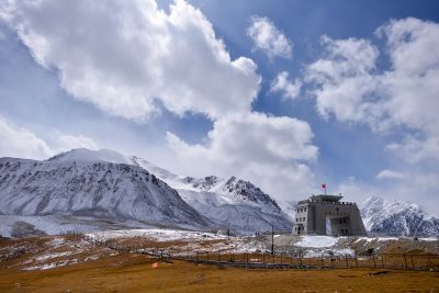
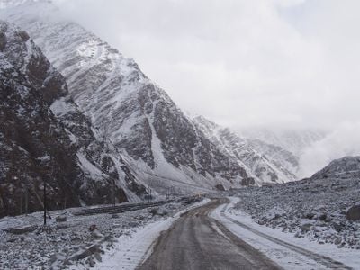
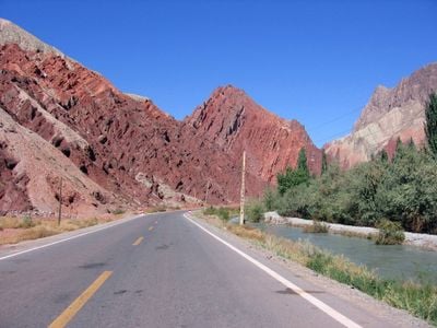
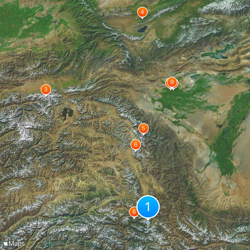
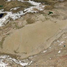
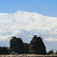
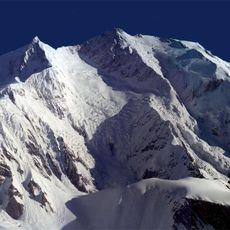
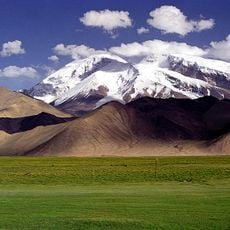
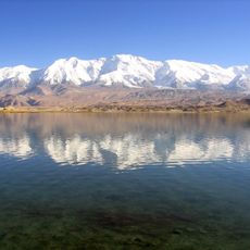
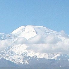
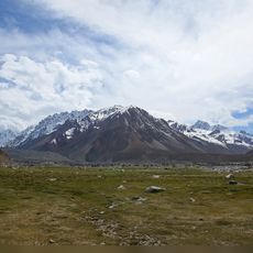
The Karakoram Highway is a mountain road linking Kashgar to Islamabad, crossing through the Karakoram and Hindu Kush ranges between two continents. The route climbs through several climate zones from subtropical valleys to glaciated plateaus, reaching its highest point at 4,693 meters (15,397 feet) at Khunjerab Pass.

Construction began in 1959 on the Chinese side and 1966 on the Pakistani side, with both countries working to connect through the high mountains. The route opened for goods in 1978 and officially for public traffic in 1982.

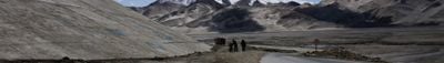
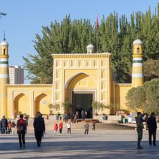
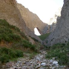
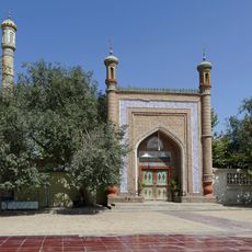
The route follows ancient trading paths, and thousands of engraved symbols and images from early centuries appear along the mountain slopes. Travelers meet local residents in small settlements who offer textiles and hand-carved souvenirs along the way.

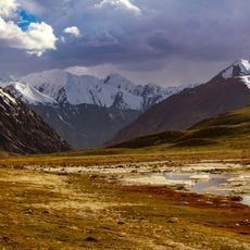
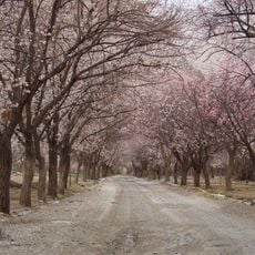
The best time to travel is between May and October when most sections are free of snow and pass roads are open. Due to frequent landslides and rockfalls, check current road conditions before departure and allow extra time for possible delays.

During construction, Chinese and Pakistani engineers pioneered blasting techniques at altitudes above 4,000 meters (13,123 feet), where air pressure changes the behavior of explosives. These methods were later applied to other high-altitude projects worldwide.

The community of curious travelers

AroundUs brings together thousands of curated places, local tips, and hidden gems, enriched daily by 60,000 contributors worldwide.

Start exploring
Location
Location
Location
Inception
1966
Elevation above the sea
4,693 m
Part of
AH4
Address
RCXJ+WP2, Tashkurgan, Kashgar Prefecture, Xinjiang, China
GPS coordinates
36.85028,75.42833
Latest update
December 12, 2025 20:16
« Karakoram Highway - International mountain road between Kashgar and Islamabad, China and Pakistan » is provided by Around Us (aroundus.com). Images and texts are derived from Wikimedia project under a Creative Commons license. You are allowed to copy, distribute, and modify copies of this page, under the conditions set by the license, as long as this note is clearly visible.

Discover hidden gems everywhere you go!

From secret cafés to breathtaking viewpoints, skip the crowded tourist spots and find places that match your style. Our app makes it easy with voice search, smart filtering, route optimization, and insider tips from travelers worldwide. Download now for the complete mobile experience.

Around Us App Screenshot

A unique approach to discovering new places

Le Figaro

All the places worth exploring

France Info

A tailor-made excursion in just a few clicks

20 Minutes

Around Us
Travel Guide & Maps
Download

Send to your phone

QR Code
1

Open the camera app on your mobile.

2

Point at the QR code with your camera. A notification will appear.

3

Tap the notification to open the link.