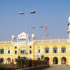
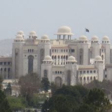
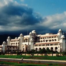
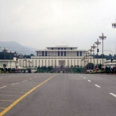
Khyber Pakhtunkhwa, Administrative province in northwestern Pakistan
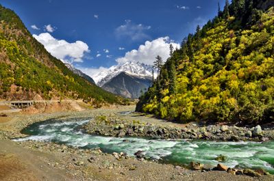
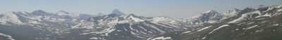
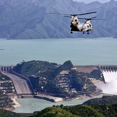
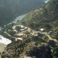
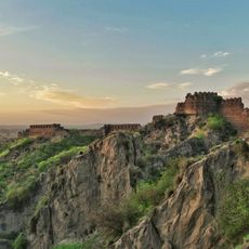
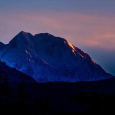
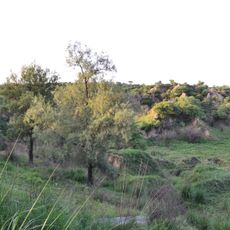
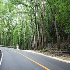
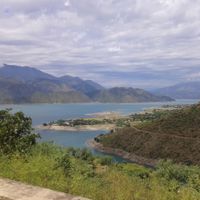
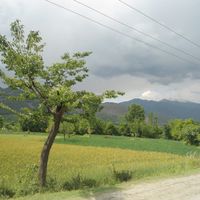
Khyber Pakhtunkhwa is an administrative region in northwestern Pakistan that stretches along the Afghan border from the Indus lowlands to the Hindu Kush mountain ranges. The terrain shifts from dry plains in the south to forested valleys and snow-capped peaks in northern areas, where rivers carve through narrow gorges.
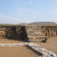
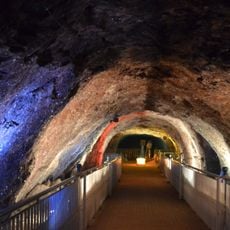
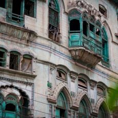
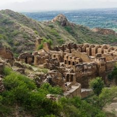
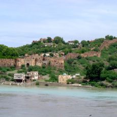
Trade routes passed through this region for centuries, connecting Central Asia with the Indian subcontinent and making it a corridor for merchants and military campaigns. Alexander the Great marched through these passes, followed by Buddhist monks, Mughal armies, and British colonial forces, each leaving traces in the mountain towns.
Pashtun communities uphold their ancestral customs through tribal councils and hospitality rituals that visitors encounter in teahouses and local markets. Families gather for communal meals where flatbread and meat dishes are shared, while elder men often sit together in separate quarters.
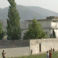
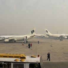
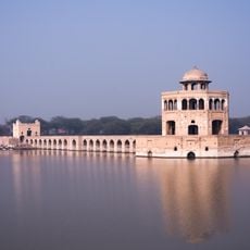
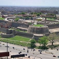
Peshawar serves as the capital and main transport hub, with roads branching out to mountain valleys and the Afghan border. Travelers should seek local advice before visiting remote areas, as conditions vary widely depending on season and region.
The name changed from North-West Frontier Province to Khyber Pakhtunkhwa in 2010, combining two historical reference points: the Khyber Pass and the Pashtun people. This shift reflected decades of local campaigns seeking to better represent the identity of the region.
The community of curious travelers
AroundUs brings together thousands of curated places, local tips, and hidden gems, enriched daily by 60,000 contributors worldwide.