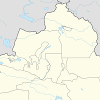
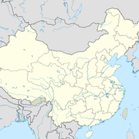
Xinjiang, Autonomous region in northwestern China.
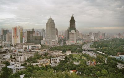
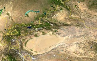
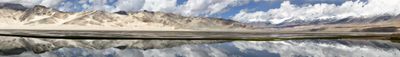
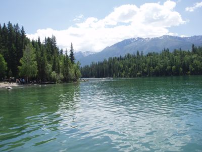
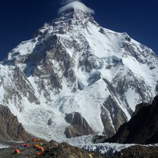
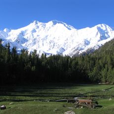
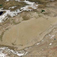
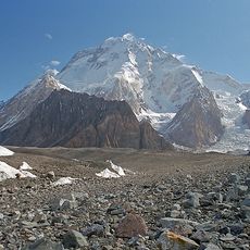
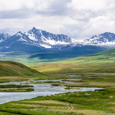
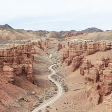
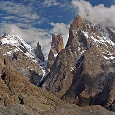
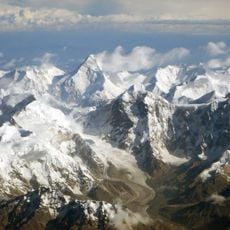
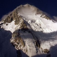
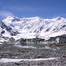
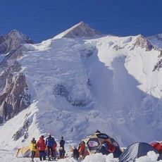
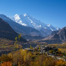
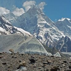
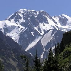
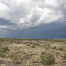
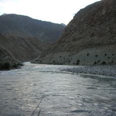
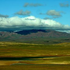
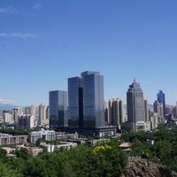
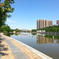
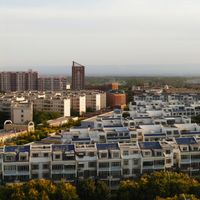
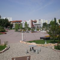
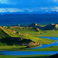
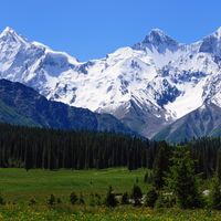
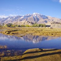
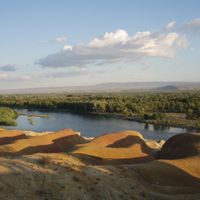
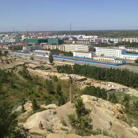
Xinjiang is an autonomous region in northwestern China that stretches across desert plains, high mountain ranges and river valleys. The landscape shifts from dry sand flats to snow-covered peaks, with oases fed by rivers where settlements and farmland concentrate.
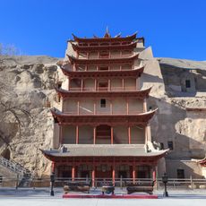
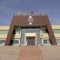
The region was shaped by shifting trade routes and kingdoms for centuries before coming under Qing rule in the 18th century. It received its current status as an autonomous region only in the mid-20th century, following political changes across China.
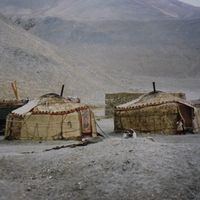
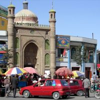
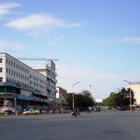
In markets and city streets, you hear Uyghur, Mandarin and other languages spoken, and mosques stand beside modern buildings. Local communities maintain their own culinary traditions, and visitors can encounter handwoven carpets, regional music styles and religious celebrations that shape daily life in many places.
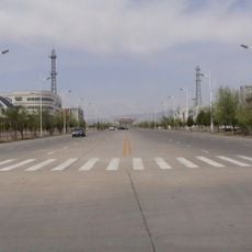
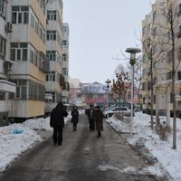
Because of the varied elevations and continental climate, travelers should prepare for strong temperature differences between day and night. Navigating this large region requires planning, as cities and towns are often separated by long stretches of open land.
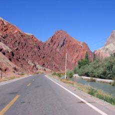
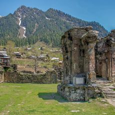
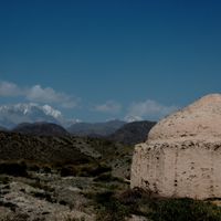
Some of the oldest trade connections between East and West once passed through here, guiding caravans and travelers over thousands of kilometers. Even today, traces of old fortifications and rest stops can be found in remote valleys, bearing witness to that distant era.
The community of curious travelers
AroundUs brings together thousands of curated places, local tips, and hidden gems, enriched daily by 60,000 contributors worldwide.