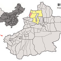
Tacheng Prefecture, Administrative prefecture in Xinjiang, China
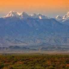
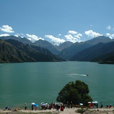
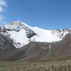
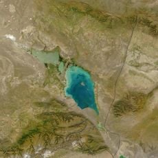
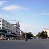
Tacheng Prefecture is an administrative region in northern Xinjiang spanning roughly 98,800 square kilometers and subdivided into three urban districts, three counties, and one Mongol Autonomous County. The territory is crossed by significant mountain ranges including the Tarbagatai and Saur mountains, with the Emin Valley cutting through its landscape.
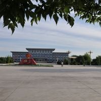
This region was established as an administrative unit in 1929 and has undergone several restructurings of its governance frameworks since its founding. These administrative changes have shaped the current political organization of the prefecture.
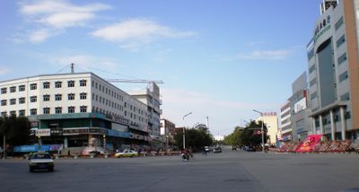
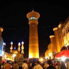
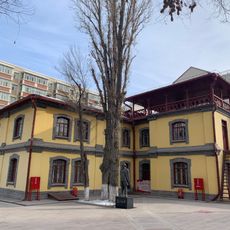
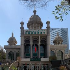
Multiple ethnic communities live and work throughout this prefecture, including Han Chinese, Kazakhs, Hui, Uyghurs, and Mongols. This diversity shapes the character of towns and daily interactions across the region.
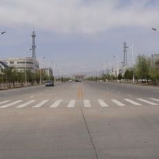
The prefecture connects to Kazakhstan through the Baktu border crossing, facilitating cross-border travel, and links internally via the Karamay-Tacheng Railway. Visitors should be prepared for significant distances between settlements and variable infrastructure availability in remote areas.
The city of Karamay, a major oil production center, sits as a separate administrative enclave within the prefecture's territory due to economic governance needs. This unusual arrangement emerged from efforts to manage the region's petroleum resources separately from general administration.
The community of curious travelers
AroundUs brings together thousands of curated places, local tips, and hidden gems, enriched daily by 60,000 contributors worldwide.