Xinjiang Tianshan, Mountain range and UNESCO World Heritage Site in Xinjiang, China.
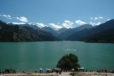
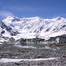
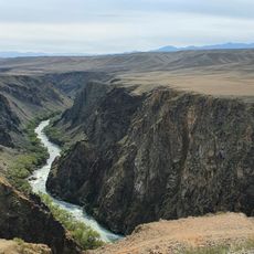
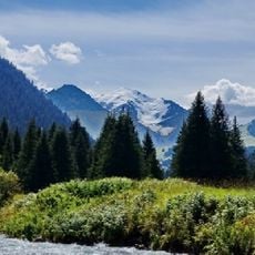
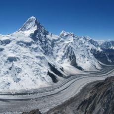
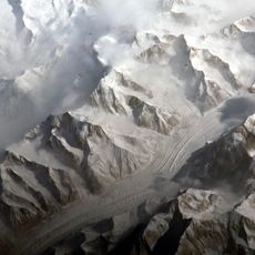
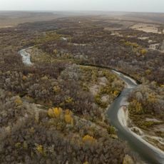
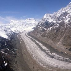
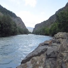
Xinjiang Tianshan is a mountain system in northwestern China made up of four separate protected areas inscribed as a UNESCO World Heritage Site. The terrain ranges from permanent glaciers and alpine lakes at high elevation to forests and grasslands lower down.
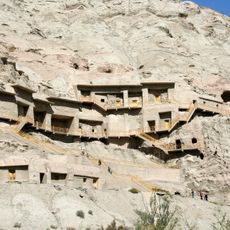
The Tianshan range sat along the Silk Road and for centuries acted as both a barrier and a passageway for trade caravans moving between Central Asia and China. In 2013 the four protected areas were jointly recognized as a UNESCO World Heritage Site.
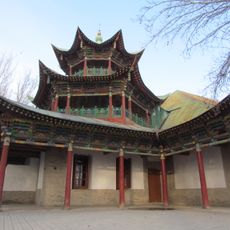
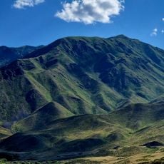
The Tianshan valleys are home to Kazakh, Uyghur, and Han Chinese communities whose way of life is built around seasonal herding. In summer, you can watch families move their flocks up to highland pastures, a practice that has shaped how the land looks and feels.
The most accessible areas are around Tianchi Lake near Urumqi and Kanas in the north, both reachable by road. Organized tours from Urumqi are a practical option, since the four protected zones are spread far apart and public transport connections can be limited.
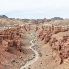
Although the four protected zones cover a vast area, they were nominated together as a single World Heritage property, which is an unusual arrangement in the global heritage system. Each zone protects a different type of mountain environment, from desert-edged foothills to high glacial peaks.
The community of curious travelers
AroundUs brings together thousands of curated places, local tips, and hidden gems, enriched daily by 60,000 contributors worldwide.