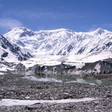
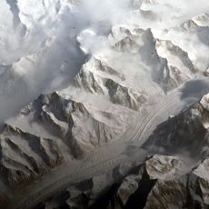
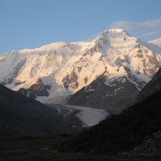
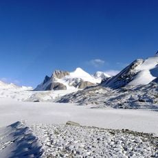
Khan Tengri, Marble summit in Tian Shan range, Kazakhstan and Kyrgyzstan.
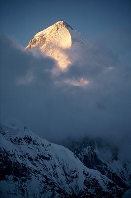
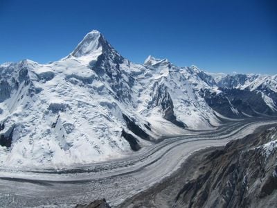
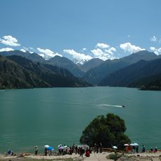
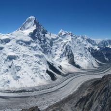
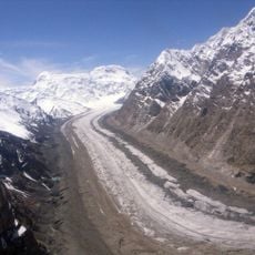
Khan Tengri is a marble peak standing at 7010 meters (23,000 feet) where the borders of Kazakhstan, Kyrgyzstan, and China meet in the Tian Shan range. Its shape forms a nearly perfect pyramid with steep slopes dropping toward the surrounding glaciers.
Mikhail Pogrebetsky and his team reached the summit for the first time in 1931, opening the southern route. Later expeditions added more ascents, though conditions remained demanding throughout the decades.
The name means "Lord of the Sky" in several regional languages, and shepherds who graze their flocks in the lower valleys still regard the peak as a place where earth meets heaven. Travelers passing through the region often hear stories about ancient rituals performed at its base before long journeys.
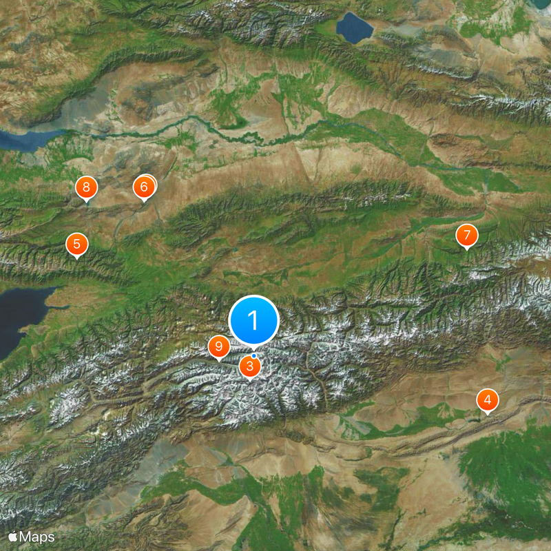
Climbers usually plan their ascent between mid-July and August, when weather conditions become somewhat milder. Access to the base camp requires permits, and helicopter flights typically depart from Karkara.
The marble composition gives the summit a reddish glow at sunset, which has earned it the local nickname Blood Mountain. This color shift becomes especially noticeable in the late afternoon hours when the light falls flat across the slopes.
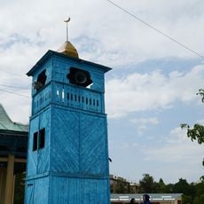
Location: Ak-Suu District
Location: Raiymbek District
Location: Onsu County
Elevation above the sea: 7,010 m
Made from material: marble
GPS coordinates: 42.21084,80.17440
Latest update: December 5, 2025 16:36
Charyn Canyon
155.8 km
Jengish Chokusu
20 km
Kizil Caves
198.5 km
Kolsay Lakes National Park
166.2 km
Charyn National Park
155.7 km
Xinjiang Tianshan
195.1 km
Bartogay Lake
186.3 km
Engil'chek Glacier
29.4 km
Gedenktafel an die Bezwingung des Khanats der Dsungaren
86.5 km
Holy Trinity Church, Karakol
149.6 km
Xuelian Feng
59.3 km
Kumtura Thousand Buddha Caves
214.6 km
Natural Monument "Charyn ash forest"
169.1 km
Karakol Dungan Mosque
150.1 km
Свято-Троицкий Иссык-Кульский монастырь
171.3 km
Pik Karakol
141.1 km
Przhevalsky Museum
157.6 km
Lednik Semjonova
19.9 km
Almaty State Complex Nature Sanctuary
211.3 km
St. Nicholas Church
212.4 km
Lednik Petrova
161.9 km
Pik Nansena
45.3 km
Sarychat glacier
143.5 km
Lednik Kaindy
43.6 km
Peshchera Akchunkur
63.6 km
Lednik Komsomolets
20.6 km
Pik Voennizh Topografov
18.7 km
Lednik Zvëzdochka
15.4 kmReviews
Visited this place? Tap the stars to rate it and share your experience / photos with the community! Try now! You can cancel it anytime.
Discover hidden gems everywhere you go!
From secret cafés to breathtaking viewpoints, skip the crowded tourist spots and find places that match your style. Our app makes it easy with voice search, smart filtering, route optimization, and insider tips from travelers worldwide. Download now for the complete mobile experience.
A unique approach to discovering new places❞
— Le Figaro
All the places worth exploring❞
— France Info
A tailor-made excursion in just a few clicks❞
— 20 Minutes