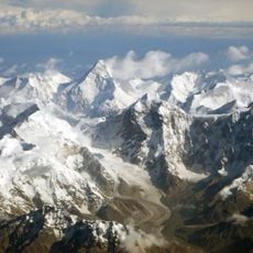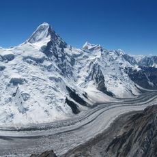
Jengish Chokusu, Mountain summit at Tian Shan range, China and Kyrgyzstan.
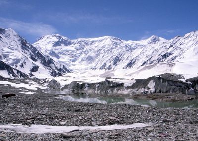
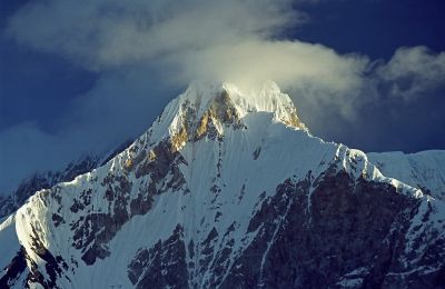
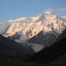
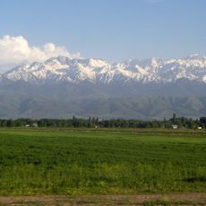
Jengish Chokusu is a mountain summit in the Tian Shan range at the border between Xinjiang and the Issyk-Kul Region, rising to 7,439 meters in elevation. The peak marks the highest point of the entire Tian Shan system and dominates the surrounding high-altitude landscape with its snow-covered slopes.
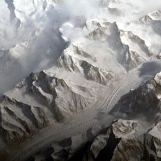
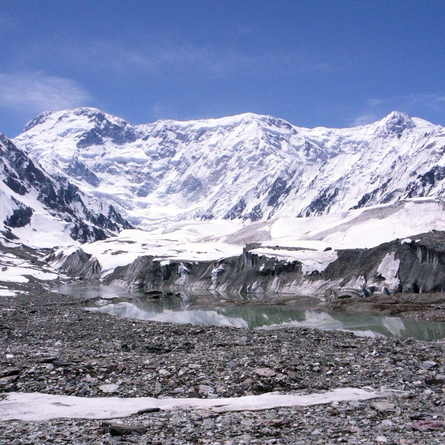
The first documented ascent was achieved in 1956 by an expedition led by Vitaly Abalakov, following a tragic attempt the previous year that claimed eleven lives in a snowstorm. This early mountaineering history shaped the peak's international reputation as a technically demanding and hazardous route.
The mountain carries different names across borders: Pik Pobedy in Russian territories and Tomur Feng on the Chinese side, reflecting the linguistic diversity of the border region. This naming difference shows how local cultures and historical spheres of influence are anchored in the geography.
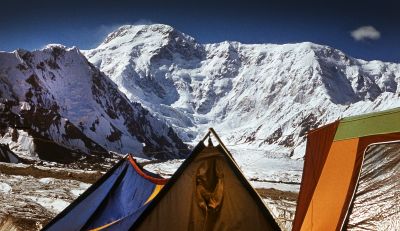
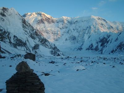
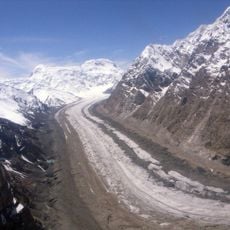
Climbers typically approach the summit via the Zvozdochka glacier and require advanced mountaineering skills plus substantial cold-weather gear. The route demands high-altitude climbing experience and thorough physical preparation before attempting the ascent.
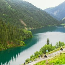
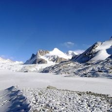
The mountain is the northernmost 7,000-meter peak on Earth and hosts the South Engilchek Glacier, one of the region's longest glaciers. Few other locations worldwide share this extreme geographic distinction.
The community of curious travelers
AroundUs brings together thousands of curated places, local tips, and hidden gems, enriched daily by 60,000 contributors worldwide.