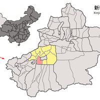
Aksu Prefecture, Prefecture in western Xinjiang, China
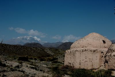
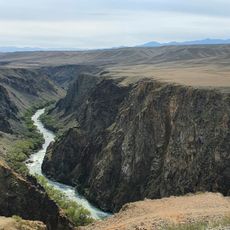
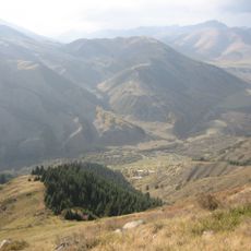
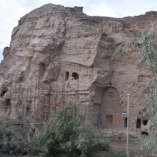
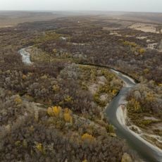
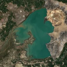
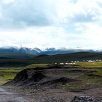
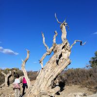
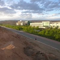
Aksu is a prefecture in western Xinjiang that covers a large area with diverse landscapes ranging from desert to mountains. The Tarim River and its tributaries flow through the region, serving as the primary water source that supports agriculture and human settlement across the territory.
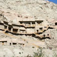
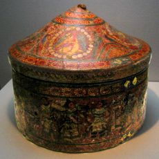
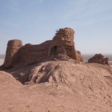
The region came under formal Chinese administration during the Qing Dynasty in the 19th century, after being controlled by various empires and kingdoms for centuries. This administrative change followed a long history of trade routes and shifting powers across Central Asia.
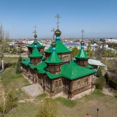
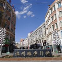
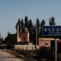
The population includes 80.1 percent Uyghur residents and 18.6 percent Han Chinese inhabitants according to the 2020 census data, representing different ethnic traditions.
The area is accessible by car or bus and can be visited year-round, though summers are extremely hot. Visitors should bring plenty of water and prepare for long drives and vast distances between settlements.
The area shares borders with several Central Asian countries, making it an important frontier zone through which historic trade routes passed. This strategic location shaped and continues to shape the region's economic and cultural role.
The community of curious travelers
AroundUs brings together thousands of curated places, local tips, and hidden gems, enriched daily by 60,000 contributors worldwide.