Enable Location

We need your location to show you interesting places around you

Discover nearby places

Find interesting locations and hidden gems around you

Precise directions

Get accurate directions and distances to places

Your location is never shared with other users. It's only used when you tap the location button.

Tarim Basin

Log in to your account

Start exploring — it's free

Trusted by 62,824 travelers worldwide

Continue with Google
Continue with Apple
or

We will send you a code to connect

By continuing, you accept our Terms and Conditions and our Privacy Policy

Check your inbox

We've sent a pincode in your inbox. Please enter the code below.

Tarim Basin

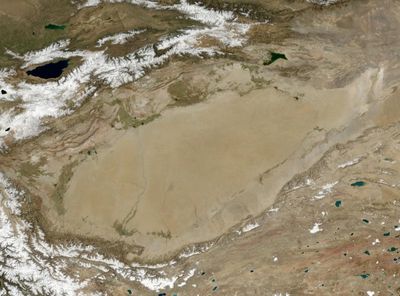
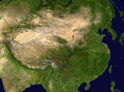
Tarim Basin, Endorheic basin in Xinjiang, China.

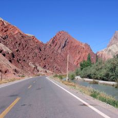
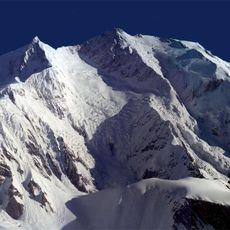
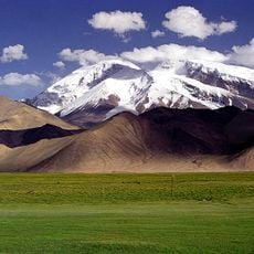
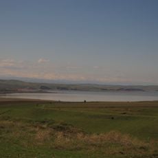
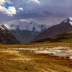
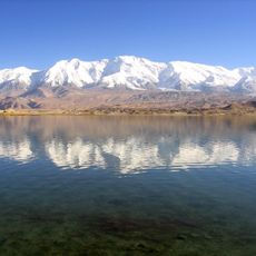
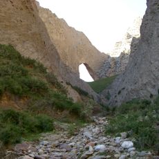
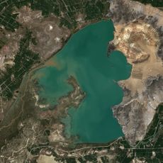
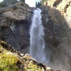
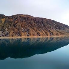
The Tarim Basin stretches between the Tian Shan in the north and the Kunlun in the south over a wide area, with the Taklamakan Desert at its center. Rivers from the mountains disappear into this landlocked region without reaching the sea, feeding scattered lakes and wetlands along the edges.

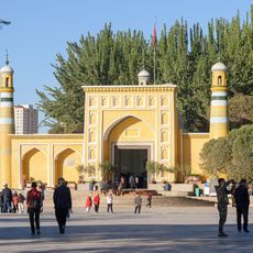
During the Han Dynasty, military advances into the region secured routes that later became part of the Silk Road. Caravans crossed the oases at the edges to enable trade between east and west.

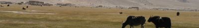
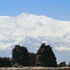
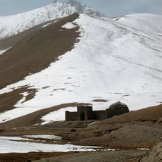
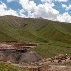
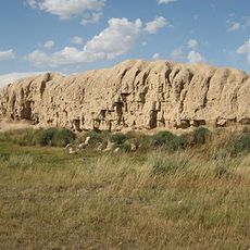
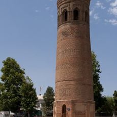
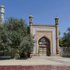
The region shows housing forms and settlement structures that have been adapted to dryness and scarce resources for centuries. Oasis towns along the edges maintain traditional building methods and agriculture that depend on meltwater from the mountains.

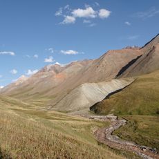
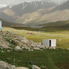
Anyone exploring the area should prepare for large distances between settlements and extreme temperature swings. Water supply is limited, so thorough preparation is necessary.

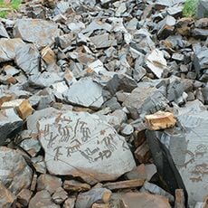
Archaeological finds show mummies from around 2000 BC, whose preservation was enabled by the dryness of the climate. These remains provide clues about early populations that passed through or settled in the region.

The community of curious travelers

AroundUs brings together thousands of curated places, local tips, and hidden gems, enriched daily by 60,000 contributors worldwide.

Start exploring
GPS coordinates
39.46667,76.05000
Latest update
December 12, 2025 21:01
« Tarim Basin - Endorheic basin in Xinjiang, China » is provided by Around Us (aroundus.com). Images and texts are derived from Wikimedia project under a Creative Commons license. You are allowed to copy, distribute, and modify copies of this page, under the conditions set by the license, as long as this note is clearly visible.

Discover hidden gems everywhere you go!

From secret cafés to breathtaking viewpoints, skip the crowded tourist spots and find places that match your style. Our app makes it easy with voice search, smart filtering, route optimization, and insider tips from travelers worldwide. Download now for the complete mobile experience.

Around Us App Screenshot

A unique approach to discovering new places

Le Figaro

All the places worth exploring

France Info

A tailor-made excursion in just a few clicks

20 Minutes

Around Us
Travel Guide & Maps
Download

Send to your phone

QR Code
1

Open the camera app on your mobile.

2

Point at the QR code with your camera. A notification will appear.

3

Tap the notification to open the link.