·

Enable Location

We need your location to show you interesting places around you

Discover nearby places

Find interesting locations and hidden gems around you

Precise directions

Get accurate directions and distances to places

Your location is never shared with other users. It's only used when you tap the location button.

Kongur Tagh

Log in to your account

Start exploring — it's free

Trusted by 62,644 travelers worldwide

Continue with Google
Continue with Apple
or

We will send you a code to connect

By continuing, you accept our Terms and Conditions and our Privacy Policy

Check your inbox

We've sent a pincode in your inbox. Please enter the code below.

Kongur Tagh

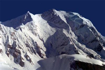
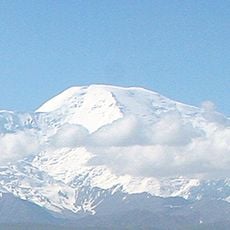
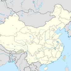
Kongur Tagh, Summit in Akto County, China

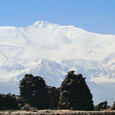
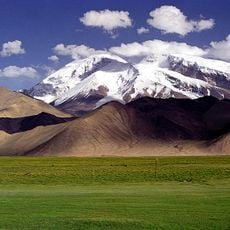
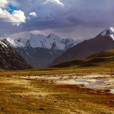
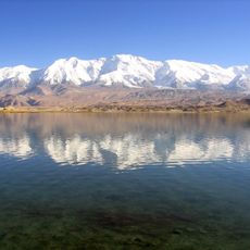
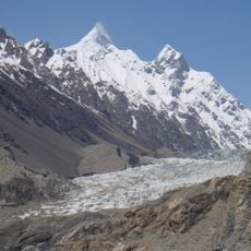
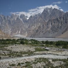
Kongur Tagh rises to 7,649 meters, making it the highest mountain in the Pamir range and the tallest peak in Xinjiang. The mountain features two summits of nearly equal height, which creates questions about which point is truly the highest.

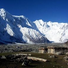
The mountain remained unknown to European explorers until 1900, when its presence was documented during geographical surveys of the region. This early exploration helped expand geographic knowledge about this remote mountain area.

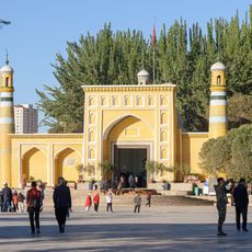
The name Kongur Tagh comes from local languages and means Brown Mountain, reflecting the color and character of this high terrain. Visitors to the region notice how this name connects to the mountain's appearance and its role in the lives of nearby communities.

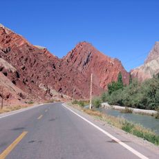
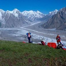
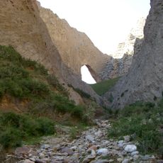
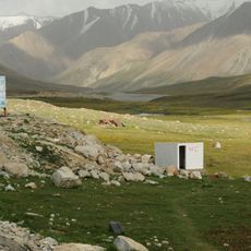
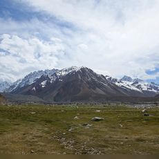
The Karakoram Highway improved access to the mountain base, allowing climbers to reach starting points for expeditions more easily. Visitors should know that accessibility varies greatly by season and good preparation is essential for any approach.

The mountain commands attention through its two summits of nearly equal height, which present an intriguing puzzle for climbers trying to identify the true highest point. This feature makes it especially interesting for mountaineers who seek technical challenges.

The community of curious travelers

AroundUs brings together thousands of curated places, local tips, and hidden gems, enriched daily by 60,000 contributors worldwide.

Start exploring
Location
Elevation above the sea
7,649 m
Part of
Pamir Mountains
GPS coordinates
38.59452,75.31514
Latest update
December 7, 2025 10:07
« Kongur Tagh - Summit in Akto County, China » is provided by Around Us (aroundus.com). Images and texts are derived from Wikimedia project under a Creative Commons license. You are allowed to copy, distribute, and modify copies of this page, under the conditions set by the license, as long as this note is clearly visible.

Discover hidden gems everywhere you go!

From secret cafés to breathtaking viewpoints, skip the crowded tourist spots and find places that match your style. Our app makes it easy with voice search, smart filtering, route optimization, and insider tips from travelers worldwide. Download now for the complete mobile experience.

Around Us App Screenshot

A unique approach to discovering new places

Le Figaro

All the places worth exploring

France Info

A tailor-made excursion in just a few clicks

20 Minutes

Around Us
Travel Guide & Maps
Download

Send to your phone

QR Code
1

Open the camera app on your mobile.

2

Point at the QR code with your camera. A notification will appear.

3

Tap the notification to open the link.