Enable Location

We need your location to show you interesting places around you

Discover nearby places

Find interesting locations and hidden gems around you

Precise directions

Get accurate directions and distances to places

Your location is never shared with other users. It's only used when you tap the location button.

Gasherbrum II

Log in to your account

Start exploring — it's free

Trusted by 62,807 travelers worldwide

Continue with Google
Continue with Apple
or

We will send you a code to connect

By continuing, you accept our Terms and Conditions and our Privacy Policy

Check your inbox

We've sent a pincode in your inbox. Please enter the code below.

Gasherbrum II

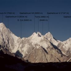
Gasherbrum II, Mountain summit in Karakoram Range, Pakistan and China.

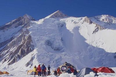
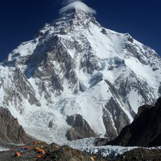
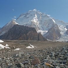
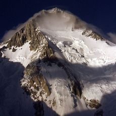
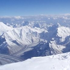
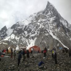
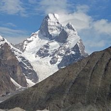
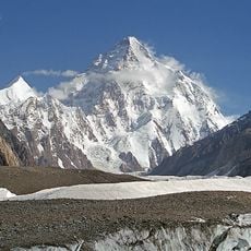
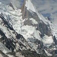
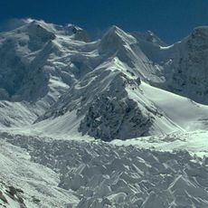
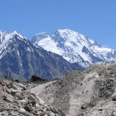
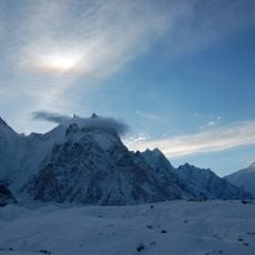
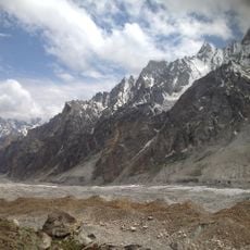
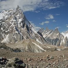
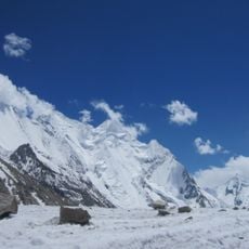
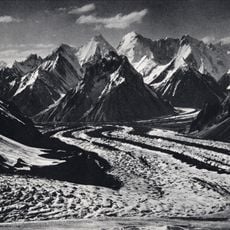
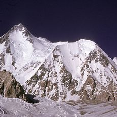
Gasherbrum II rises to 8,034 meters in elevation, making it the thirteenth highest mountain on Earth, with steep ice walls and glacial terrain forming a harsh alpine environment. The summit is surrounded by broad snow fields crisscrossed with deep crevasses that extend for several kilometers across the massif.

An Austrian expedition team led by Fritz Moravec, Josef Larch, and Hans Willenpart achieved the first successful ascent of Gasherbrum II in 1956. This milestone opened the mountain to future climbers and established it as an important objective for high-altitude mountaineers.

The name comes from the Balti language and means Beautiful Mountain, expressing how local communities view this peak as part of their identity. People in the region regard it as a sacred landmark tied to their heritage and mountain traditions.

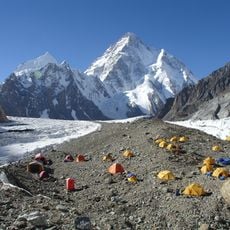
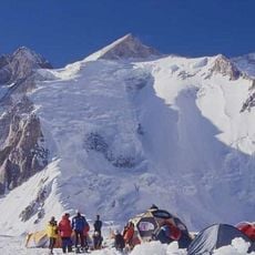
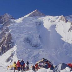
The climbing season runs from June through August, with expeditions typically taking about four weeks from base camp to summit, including necessary acclimatization time. Visitors should prepare for extreme cold and difficult conditions and work with highly qualified guides and porters throughout the ascent.

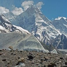
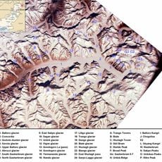
The mountain is part of the Baltoro Glacier system, where climbers navigate through extensive crevasse fields that can collapse suddenly without warning. Temperatures drop below minus 40 degrees Celsius, making it one of the coldest and most technically demanding summits in the region.

The community of curious travelers

AroundUs brings together thousands of curated places, local tips, and hidden gems, enriched daily by 60,000 contributors worldwide.

Start exploring
Elevation above the sea
8,034 m
GPS coordinates
35.75773,76.65327
Latest update
December 17, 2025 07:48
« Gasherbrum II - Mountain summit in Karakoram Range, Pakistan and China » is provided by Around Us (aroundus.com). Images and texts are derived from Wikimedia project under a Creative Commons license. You are allowed to copy, distribute, and modify copies of this page, under the conditions set by the license, as long as this note is clearly visible.

Discover hidden gems everywhere you go!

From secret cafés to breathtaking viewpoints, skip the crowded tourist spots and find places that match your style. Our app makes it easy with voice search, smart filtering, route optimization, and insider tips from travelers worldwide. Download now for the complete mobile experience.

Around Us App Screenshot

A unique approach to discovering new places

Le Figaro

All the places worth exploring

France Info

A tailor-made excursion in just a few clicks

20 Minutes

Around Us
Travel Guide & Maps
Download

Send to your phone

QR Code
1

Open the camera app on your mobile.

2

Point at the QR code with your camera. A notification will appear.

3

Tap the notification to open the link.