Blauer Engel
Location: Duisburg-Mitte
Location: Duisburg
Creator: Regina Bartholme
Creator: Regina Bartholme
GPS coordinates: 51.42600,6.80751
Latest update: November 23, 2025 09:28
Sapo National Park
972 m
Haus Hartenfels
552 m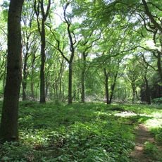
Duisburger Stadtwald
412 m
NRW School of Governance
748 m
Wolfsburg
804 m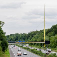
Expo-Brücke
317 m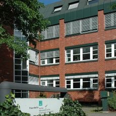
Fraunhofer Institute for Microelectronic Circuits and Systems
818 m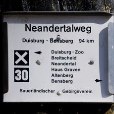
Neandertalweg
821 m
Motte Duissern
1 km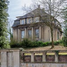
Brohler Villa
976 m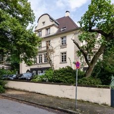
Wilhelmshöhe 6, Duisburg
1 km
Prinzenhöhe 26, Mülheim
1 km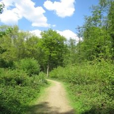
Landschaftsschutzgebiet Duisburger Stadtwald mit den Bereichen Witzberg, Monning, Wolfsberg, Am Stein, Eselsbruch, Nachtigallental, Uhlenhorst
486 m
Fahrenkamp extension
1 km
Große Rote
941 m
Rotbuche
771 m
Weiß Verpuppte
557 m
Doppel-Spirale
588 m
Work of art
512 m
Scenic viewpoint
819 m
Memorial
912 m
Ida Levi
719 m
Gustav Hanauer
862 m
Helene Hanauer
862 m
Gerhard Petsch
591 m
Ursula Mendel
719 m
Lilly Mendel
719 m
Emil Mendel
719 mReviews
Visited this place? Tap the stars to rate it and share your experience / photos with the community! Try now! You can cancel it anytime.
Discover hidden gems everywhere you go!
From secret cafés to breathtaking viewpoints, skip the crowded tourist spots and find places that match your style. Our app makes it easy with voice search, smart filtering, route optimization, and insider tips from travelers worldwide. Download now for the complete mobile experience.

A unique approach to discovering new places❞
— Le Figaro
All the places worth exploring❞
— France Info
A tailor-made excursion in just a few clicks❞
— 20 Minutes