
Rita the Rock Planter
Location: Teller County
Creator: Thomas Dambo
Creator: Thomas Dambo
GPS coordinates: 38.70923,-105.17247
Latest update: November 10, 2025 09:23
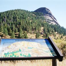
Mueller State Park
15.2 km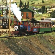
Cripple Creek and Victor Narrow Gauge Railroad
4.3 km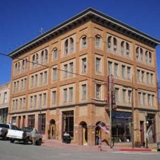
Victor Hotel
2.8 km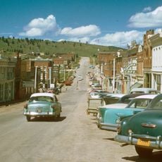
Cripple Creek Historic District
4.8 km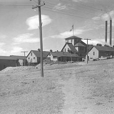
Stratton's Independence Mine and Mill
3.2 km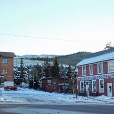
Cripple Creek District Museum
4.2 km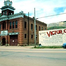
Victor Downtown Historic District
2.8 km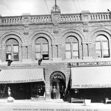
Western Federation of Miners union hall
2.8 km
Fourmile Canyon
8.4 km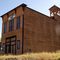
Goldfield City Hall and Fire Station
4.4 km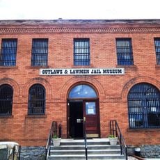
Outlaws And Lawmen Jail Museum
4.2 km
Old Homestead House Museum
4.1 km
Cripple Creek Heritage Center
4.8 km
Victor Lowell Thomas Museum
2.8 km
Mollie Kathleen Gold Mine
5.1 km
Wrights Reservoir
13.2 km
Box Canyon
9.8 km
Evening Star Mountain
2.3 km
Victor’s Gold Camp, Ag & Mining Museum
2.9 km
Imperial Hotel and Gold Bar Room Theater
4.2 km
Cripple Creek and Victor Narrow Gauge Railroad
4.3 km
Mollie Kathleen Mine
5 km
Scenic viewpoint
9.7 km
Scenic viewpoint
8.6 km
Scenic viewpoint
11 km
Scenic viewpoint
13.3 km
Grassy Valley Mining Overlook
5.9 km
Scenic viewpoint
14.9 kmReviews
Visited this place? Tap the stars to rate it and share your experience / photos with the community! Try now! You can cancel it anytime.
Discover hidden gems everywhere you go!
From secret cafés to breathtaking viewpoints, skip the crowded tourist spots and find places that match your style. Our app makes it easy with voice search, smart filtering, route optimization, and insider tips from travelers worldwide. Download now for the complete mobile experience.

A unique approach to discovering new places❞
— Le Figaro
All the places worth exploring❞
— France Info
A tailor-made excursion in just a few clicks❞
— 20 Minutes