
Box Canyon, canyon in Teller County, Colorado, United States
Location: Colorado
Elevation above the sea: 2,426 m
GPS coordinates: 38.77070,-105.25360
Latest update: March 16, 2025 21:31

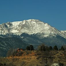
Pikes Peak
19.8 km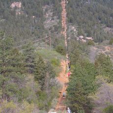
Manitou Incline
29.5 km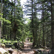
Barr Trail
22.3 km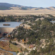
Eleven Mile State Park
24 km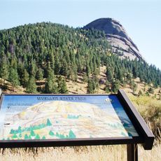
Mueller State Park
7.6 km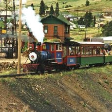
Cripple Creek and Victor Narrow Gauge Railroad
7.5 km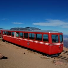
The Broadmoor Manitou and Pikes Peak Cog Railway
29.5 km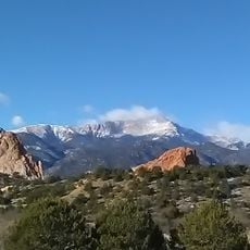
Pikes Peak
19.9 km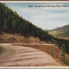
Ute Pass
20.8 km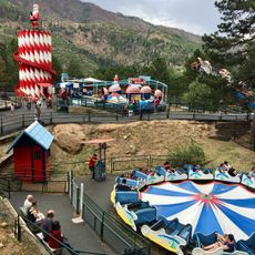
Santa's Workshop
28.2 km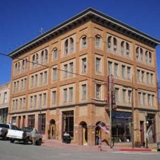
Victor Hotel
11.9 km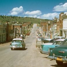
Cripple Creek Historic District
7.1 km
Stratton's Independence Mine and Mill
12.1 km
St. Peter's Dome
29.8 km
Mount Rosa
26.6 km
Thirtynine Mile Mountain
27 km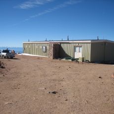
United States Army Pike's Peak Research Laboratory
19.7 km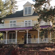
Eastholme
28.4 km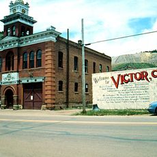
Victor Downtown Historic District
11.9 km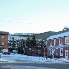
Cripple Creek District Museum
7.6 km
Hornbek House
17.5 km
Western Federation of Miners union hall
11.9 km
South Platte River Bridge
25.8 km
Outlaws And Lawmen Jail Museum
6.8 km
Colorado Wolf and Wildlife Center
18.3 km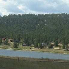
Lake George
25.1 km
Florissant Fossil Beds Visitors Center
16.2 km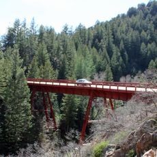
Adelaide Bridge No 10
26.5 kmReviews
Visited this place? Tap the stars to rate it and share your experience / photos with the community! Try now! You can cancel it anytime.
Discover hidden gems everywhere you go!
From secret cafés to breathtaking viewpoints, skip the crowded tourist spots and find places that match your style. Our app makes it easy with voice search, smart filtering, route optimization, and insider tips from travelers worldwide. Download now for the complete mobile experience.

A unique approach to discovering new places❞
— Le Figaro
All the places worth exploring❞
— France Info
A tailor-made excursion in just a few clicks❞
— 20 Minutes