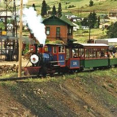
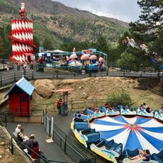
Cripple Creek Historic District, Historical district in Cripple Creek, United States.
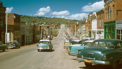
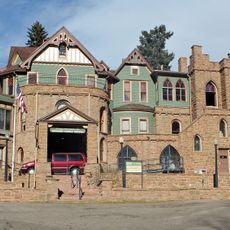
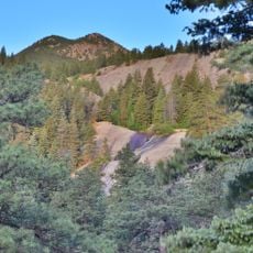
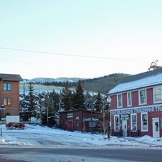
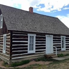
Cripple Creek Historic District is a National Historic Landmark in the city of Cripple Creek, Colorado, preserving the built remains of a major gold mining center from the late 19th century. The main streets are lined with brick storefronts and former hotels, while the surrounding hillsides still show traces of mine shafts and tailings from earlier operations.
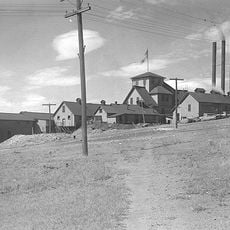
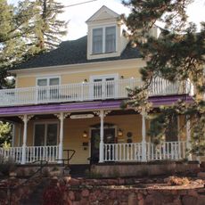
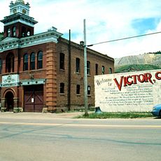
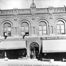
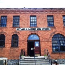
Gold was found on a cattle ranch here in 1890, and within a few years the area had grown into one of the most productive mining districts in the country. Two major fires in the mid-1890s destroyed most of the original wooden buildings, leading to a rapid rebuild in brick that defined the town's current appearance.
The streets are lined with brick buildings from the gold rush era, many of which still serve as shops, museums, or casinos today. Walking through, you notice how the town's layout and architecture were shaped by sudden wealth and the need to rebuild quickly after fire.
The district sits in the center of Cripple Creek and is easy to walk, though some streets climb steeply and sidewalks can be uneven in places. A visit works well at any time of year, but expect snow and ice on walkways during winter months.
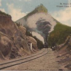
The ground beneath the town center is honeycombed with old mine tunnels that still run under the streets today. Some of these passages were dug so close to the surface that they now help support the very ground people walk on above.
The community of curious travelers
AroundUs brings together thousands of curated places, local tips, and hidden gems, enriched daily by 60,000 contributors worldwide.