Enable Location

We need your location to show you interesting places around you

Discover nearby places

Find interesting locations and hidden gems around you

Precise directions

Get accurate directions and distances to places

Your location is never shared with other users. It's only used when you tap the location button.

Manitou Mineral Springs

Log in to your account

Start exploring — it's free

Trusted by 61,640 travelers worldwide

Continue with Google
Continue with Apple
or

We will send you a code to connect

By continuing, you accept our Terms and Conditions and our Privacy Policy

Check your inbox

We've sent a pincode in your inbox. Please enter the code below.

Manitou Mineral Springs

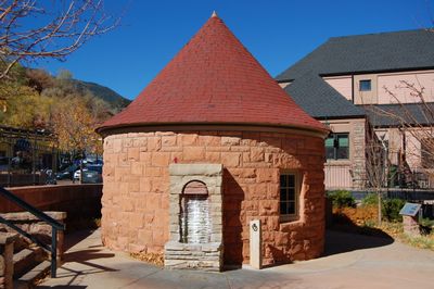
Manitou Mineral Springs, Natural mineral springs in Manitou Springs, United States.

Description

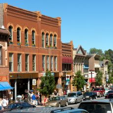
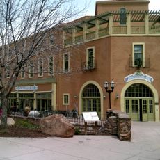
Manitou Mineral Springs consist of eight natural springs distributed throughout downtown Manitou Springs that discharge carbonated water enriched with minerals from limestone aquifers originating near Pikes Peak. The water emerges at different locations and is easily accessible to visitors.

History

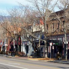
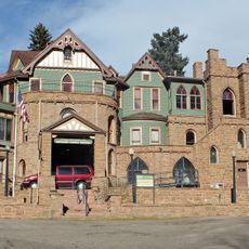
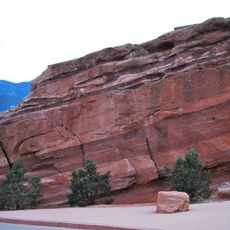
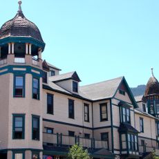
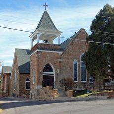
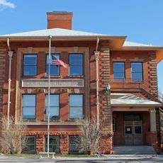
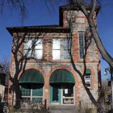
The springs held sacred meaning for the Ute, Arapaho, and Cheyenne before European settlement. In the 19th century, settlers recognized their healing potential and established a resort destination starting in 1871.

Culture

The springs draw locals and visitors who believe in the healing properties of the mineral water, particularly because of its carbonation and dissolved minerals. Drinking or bathing in the water remains part of a living local tradition today.

Practical

The local visitor center provides detailed maps showing the exact location of each spring, with information about mineral composition at each site. Using these maps helps visitors locate all the springs in an organized way.

Did you know?

Seven Minute Spring discharges water in regular intervals because natural geological pressure beneath the surface triggers this cyclic activity. This makes the spring a fascinating phenomenon to observe.

Location
Part of
Manitou Springs Historic District
GPS coordinates
38.85780,-104.92100
Latest update
December 8, 2025 20:03

AroundUs brings together thousands of curated places, local tips, and hidden gems, enriched daily by 60,000 contributors worldwide. Discover all places nearby (Manitou Springs).

Around this place
Garden of the Gods
United States of America

Garden of the Gods

4.9 km
Manitou Incline
United States of America

Manitou Incline

960 m
Manitou Cliff Dwellings
United States of America

Manitou Cliff Dwellings

999 m
Cave of the Winds
United States of America

Cave of the Winds

1.7 km
Old Colorado City
United States of America

Old Colorado City

5 km
Glen Eyrie
United States of America

Glen Eyrie

4.9 km
Miramont Castle
United States of America

Miramont Castle

173 m
Manitou Cliff Dwellings
United States of America

Manitou Cliff Dwellings

944 m
Rainbow Falls
United States of America

Rainbow Falls

1.4 km
The Broadmoor Manitou and Pikes Peak Cog Railway
United States of America

The Broadmoor Manitou and Pikes Peak Cog Railway

890 m
Manitou Springs Historic District
United States of America

Manitou Springs Historic District

0 m
Rock Ledge Ranch Historic Site
United States of America

Rock Ledge Ranch Historic Site

4.6 km
Cliff House (Manitou Springs, Colorado)
United States of America

Cliff House (Manitou Springs, Colorado)

406 m
Briarhurst
United States of America

Briarhurst

1.6 km
Balanced Rock
United States of America

Balanced Rock

2.2 km
Steamboat Rock
United States of America

Steamboat Rock

2.2 km
Barker House (Manitou Springs, Colorado)
United States of America

Barker House (Manitou Springs, Colorado)

347 m
Crystal Valley Cemetery
United States of America

Crystal Valley Cemetery

1.7 km
Manitou Bathhouse
United States of America

Manitou Bathhouse

328 m
First Congregational Church
United States of America

First Congregational Church

706 m
Stockbridge House
United States of America

Stockbridge House

4.8 km
Wheeler Bank
United States of America

Wheeler Bank

530 m
Bridge over Fountain Creek
United States of America

Bridge over Fountain Creek

954 m
Second Midland School
United States of America

Second Midland School

5.1 km
Bridge over Fountain Creek
United States of America

Bridge over Fountain Creek

1.4 km
Keithley Log Cabin Development District
United States of America

Keithley Log Cabin Development District

1.9 km
City Hall of Old Colorado City
United States of America

City Hall of Old Colorado City

4.6 km
Magic Town
United States of America

Magic Town

5.3 km
Show the full map
« Manitou Mineral Springs - Natural mineral springs in Manitou Springs, United States » is provided by Around Us (aroundus.com). Images and texts are derived from Wikimedia project under a Creative Commons license. You are allowed to copy, distribute, and modify copies of this page, under the conditions set by the license, as long as this note is clearly visible.

Discover hidden gems everywhere you go!

From secret cafés to breathtaking viewpoints, skip the crowded tourist spots and find places that match your style. Our app makes it easy with voice search, smart filtering, route optimization, and insider tips from travelers worldwide. Download now for the complete mobile experience.

Around Us App Screenshot

A unique approach to discovering new places

Le Figaro

All the places worth exploring

France Info

A tailor-made excursion in just a few clicks

20 Minutes

Around Us
Travel Guide & Maps
Download

Send to your phone

QR Code
1

Open the camera app on your mobile.

2

Point at the QR code with your camera. A notification will appear.

3

Tap the notification to open the link.