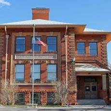
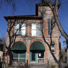
Manitou Springs Historic District, National Historic District in Manitou Springs, Colorado
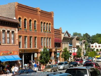
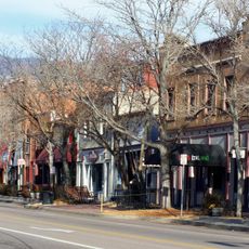
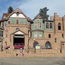
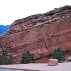
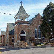
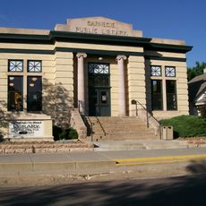
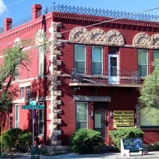
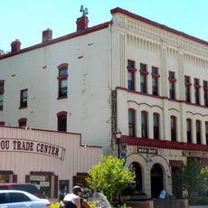
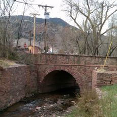
Manitou Springs Historic District is a listed historic district in Manitou Springs, Colorado, set in a narrow mountain valley at the foot of the Rocky Mountains. Its winding streets are lined with Victorian homes, Queen Anne structures, churches, and hotels, all built around the natural terrain and the mineral springs that run through the area.
The district began to take shape in the 1870s when investors and builders came to develop the area around the mineral springs, attracting health seekers from across the country. The Gillis Brothers construction company put up many of the key buildings during that period, giving the neighborhood the Victorian character it still carries.
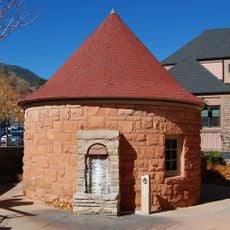
The mineral springs that flow through the district are open to the public, and visitors can taste the water directly from the spouts, each with a different flavor depending on its mineral content. This small ritual gives the place a character that sets it apart from other historic neighborhoods.
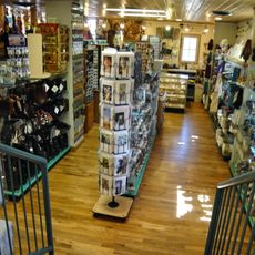
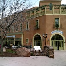
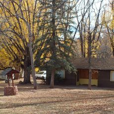
Manitou Avenue is the main street for shops and cafes, and Ruxton Avenue and Canon Street offer additional options nearby. The district is easy to explore on foot, though some streets follow the hillside and can be steep in places.
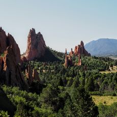
The name Manitou comes from an Algonquian word referring to a spiritual force that Indigenous peoples associated with the springs long before European settlers arrived. This connection is preserved in the name of the town itself, making it one of the few American historic districts whose name directly reflects a pre-colonial presence.
The community of curious travelers
AroundUs brings together thousands of curated places, local tips, and hidden gems, enriched daily by 60,000 contributors worldwide.