Notre-Dame du Très Haut
Location: Saint-Dalmas-le-Selvage
GPS coordinates: 44.32674,6.80762
Latest update: November 10, 2025 12:14
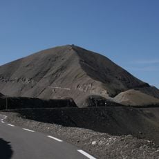
Cime de la Bonette
573 m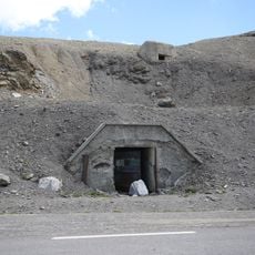
Ouvrage Restefond
407 m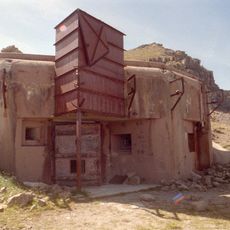
Ouvrage La Moutière
1.6 km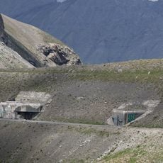
Ouvrage Col de Restefond
974 m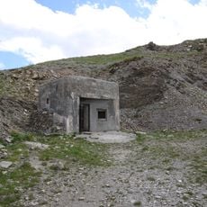
Ouvrage Granges Communes
2.2 km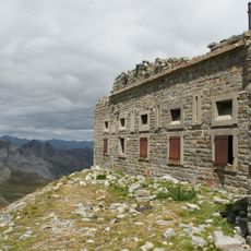
Point d'appui de Pelousette
4.2 km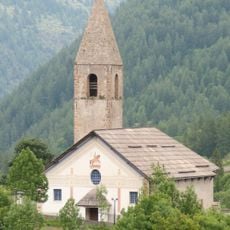
Église Saint-Dalmas de Saint-Dalmas-le-Selvage
6.7 km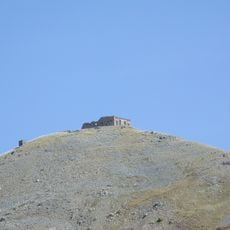
Batterie de la Tête de Vinaigre
6.2 km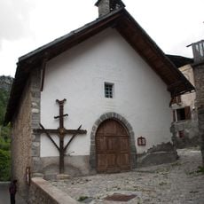
Chapelle Sainte-Marguerite de Saint-Dalmas-le-Selvage
6.6 km
Restefond
1.3 km
Cime de Voga
4.3 km
Tête de Sanguinière
6.4 km
Sommet de Serre Bourreau
6.3 km
Tête Dure
4.2 km
Tête de Parassac
7.1 km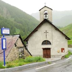
Église Saint-Pierre de Bousiéyas
4.3 km
Pointe Gias Vieux
6.7 km
Roches de Glaudon
3.4 km
Scenic viewpoint
1.1 km
Memorial
3.5 km
Scenic viewpoint
4.2 km
Wayside shrine
5.6 km
Wayside shrine
6.5 km
Memorial
638 m
Cascades du Chaudan
6.9 km
Le Pis
5.5 km
Waterfall
3.3 km
Cascade du Piolart
6 kmReviews
Visited this place? Tap the stars to rate it and share your experience / photos with the community! Try now! You can cancel it anytime.
Discover hidden gems everywhere you go!
From secret cafés to breathtaking viewpoints, skip the crowded tourist spots and find places that match your style. Our app makes it easy with voice search, smart filtering, route optimization, and insider tips from travelers worldwide. Download now for the complete mobile experience.

A unique approach to discovering new places❞
— Le Figaro
All the places worth exploring❞
— France Info
A tailor-made excursion in just a few clicks❞
— 20 Minutes