
Old Speck Mountain
8 km
Grafton Notch State Park
6.9 km
Baldpate Mountain
2.9 km
Goose Eye Mountain
15.3 km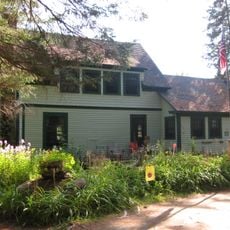
Forest Lodge
20 km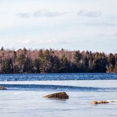
Umbagog Lake State Park
19.3 km
Sunday River Whitecap
6.2 km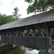
Sunday River Bridge
11.9 km
Elephant Mountain
19.9 km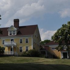
Merrill-Poor House
10.5 km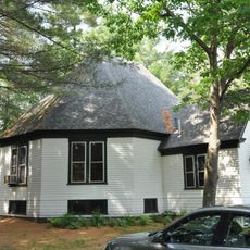
Andover Public Library
9.4 km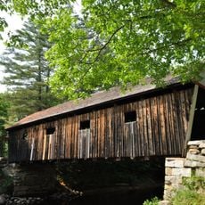
Lovejoy Bridge
10.1 km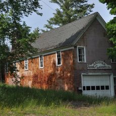
Andover Hook and Ladder Company Building
9.8 km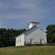
Middle Intervale Meeting House and Common
16.1 km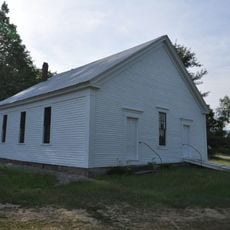
Lower Meeting House and East Bethel Cemetery
18.5 km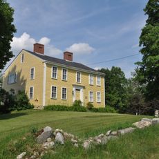
Deacon Hutchins House
14.4 km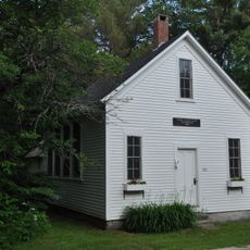
Lower Sunday River School
14.2 km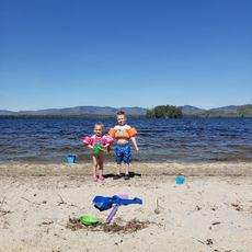
Ellis Pond Beach
17 km
Mount Success
20 km
Screw Auger Falls
4.4 km
C Bluff
13.6 km
Moose Cave
6.1 km
Table Rock
6.1 km
Scenic viewpoint
14.8 km
Observation tower, scenic viewpoint, tower
8 km
Scenic viewpoint
8.7 km
Scenic viewpoint
32 m
Scenic viewpoint
19.3 kmReviews
Visited this place? Tap the stars to rate it and share your experience / photos with the community! Try now! You can cancel it anytime.
Discover hidden gems everywhere you go!
From secret cafés to breathtaking viewpoints, skip the crowded tourist spots and find places that match your style. Our app makes it easy with voice search, smart filtering, route optimization, and insider tips from travelers worldwide. Download now for the complete mobile experience.

A unique approach to discovering new places❞
— Le Figaro
All the places worth exploring❞
— France Info
A tailor-made excursion in just a few clicks❞
— 20 Minutes