Vehicle
Location: Klickitat County
GPS coordinates: 45.67638,-121.09148
Latest update: November 3, 2025 19:08
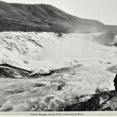
Celilo Falls
9.3 km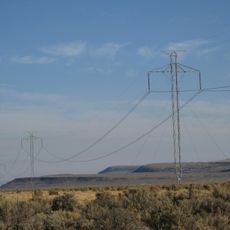
Pacific DC Intertie
9.3 km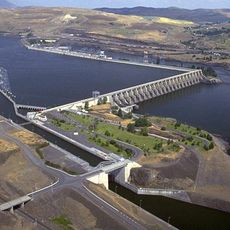
The Dalles Dam
7.7 km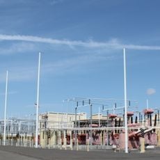
Celilo Converter Station
9.3 km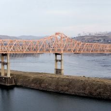
The Dalles Bridge
8.3 km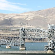
Oregon Trunk Rail Bridge
9.1 km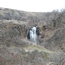
Columbia Hills Historical State Park
343 m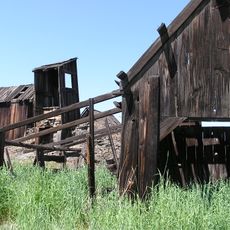
Indian Shaker Church and Gulick Homestead
8.5 km
Cushing Falls
7.5 km
Eightmile Creek Falls
2 km
Windy Point
8.3 km
Avery Recreation Area
4.5 km
Fivemile Rapids
5.3 km
Swale Creek Wildlife Area
6.2 km
Columbia Hills Natural Area Preserve
3.1 km
Waterfall
7.4 km
Waterfall
7.5 km
Waterfall
7.5 km
Waterfall
7.5 km
Waterfall
7.4 km
Cushing Falls
7.5 km
Waterfall
7.4 km
Waterfall
7.4 km
Scenic viewpoint
4 km
Scenic viewpoint
3.5 km
Scenic viewpoint
3.3 km
Waterfall
2.7 km
Ice Age Floods Viewpoint
2.2 kmReviews
Visited this place? Tap the stars to rate it and share your experience / photos with the community! Try now! You can cancel it anytime.
Discover hidden gems everywhere you go!
From secret cafés to breathtaking viewpoints, skip the crowded tourist spots and find places that match your style. Our app makes it easy with voice search, smart filtering, route optimization, and insider tips from travelers worldwide. Download now for the complete mobile experience.

A unique approach to discovering new places❞
— Le Figaro
All the places worth exploring❞
— France Info
A tailor-made excursion in just a few clicks❞
— 20 Minutes