Enable Location

We need your location to show you interesting places around you

Discover nearby places

Find interesting locations and hidden gems around you

Precise directions

Get accurate directions and distances to places

Your location is never shared with other users. It's only used when you tap the location button.

Klickitat County

Log in to your account

Start exploring — it's free

Trusted by 63,074 travelers worldwide

Continue with Google
Continue with Apple
or

We will send you a code to connect

By continuing, you accept our Terms and Conditions and our Privacy Policy

Check your inbox

We've sent a pincode in your inbox. Please enter the code below.

Discussion Reviews 1 Photos
22.4k Popularity

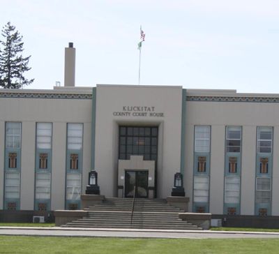
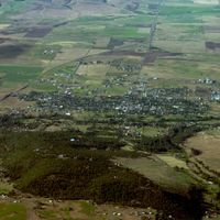
Klickitat County, Administrative division in south central Washington, United States

Klickitat County is an administrative division in south central Washington with three distinct economic zones. The western section focuses on drone manufacturing, the eastern part on vegetable farming, while the central area contains the city of Goldendale.

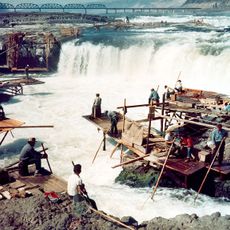
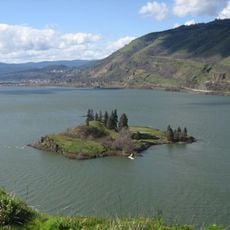
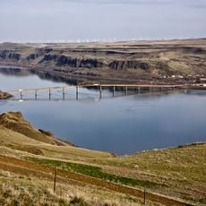
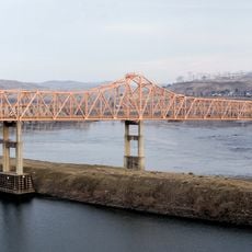
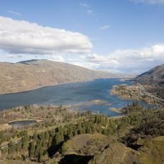
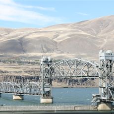
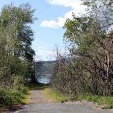
The Dalles Dam was completed in 1957, transforming the region through rising water levels. This led to the destruction of Celilo Falls, a vital fishing center for indigenous peoples.

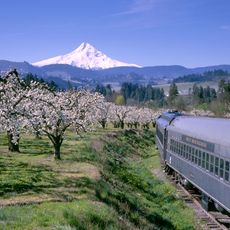
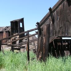
The region maintains deep roots in farming culture, with around 750 farms growing cherries and wine grapes across the landscape. Visitors can see this agricultural tradition reflected in the local shops and throughout the countryside.

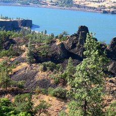
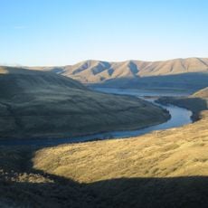
The area spans multiple climate zones and landscapes, so visitors should expect varied conditions depending on the season and which part they explore. Visiting in warmer months offers easier access to roads and outdoor areas.

The western part of the county has unexpectedly become a center for drone technology. This industrial shift shows how traditional farming regions can transform into new economic sectors.

The community of curious travelers

AroundUs brings together thousands of curated places, local tips, and hidden gems, enriched daily by 60,000 contributors worldwide.

Start exploring
Location
Inception
1859
Capital city
Goldendale
Shares border with
Yakima County, Benton County, Morrow County, Gilliam County, Sherman County, Hood River County, Wasco County, Skamania County
GPS coordinates
45.87000,-120.79000
Latest update
December 20, 2025 16:20
Around this place
Maryhill Stonehenge
United States of America

Maryhill Stonehenge

19.6 km
Celilo Falls
United States of America

Celilo Falls

28.6 km
John Day Dam
United States of America

John Day Dam

18.7 km
The Dalles Dam
United States of America

The Dalles Dam

39.1 km
Maryhill Museum of Art
United States of America

Maryhill Museum of Art

22.2 km
Mount Hood Railroad
United States of America

Mount Hood Railroad

60.7 km
Eighteenmile Island
United States of America

Eighteenmile Island

53 km
Goldendale Observatory State Park
United States of America

Goldendale Observatory State Park

4 km
Cheese Cave
United States of America

Cheese Cave

60.3 km
Western Antique Aeroplane & Automobile Museum
United States of America

Western Antique Aeroplane & Automobile Museum

62.2 km
Memaloose State Park
United States of America

Memaloose State Park

46.4 km
Sam Hill Memorial Bridge
United States of America

Sam Hill Memorial Bridge

21.9 km
The Dalles Bridge
United States of America

The Dalles Bridge

39.7 km
Mayer State Park
United States of America

Mayer State Park

43.1 km
Maryhill State Park
United States of America

Maryhill State Park

21 km
Deschutes River State Recreation Area
United States of America

Deschutes River State Recreation Area

27.9 km
Oregon Trunk Rail Bridge
United States of America

Oregon Trunk Rail Bridge

28.8 km
Conboy Lake National Wildlife Refuge
United States of America

Conboy Lake National Wildlife Refuge

42.1 km
Columbia Hills Historical State Park
United States of America

Columbia Hills Historical State Park

32.1 km
Columbia Hills
United States of America

Columbia Hills

14.5 km
Koberg Beach State Recreation Site
United States of America

Koberg Beach State Recreation Site

55.2 km
Spring Creek Hatchery State Park
United States of America

Spring Creek Hatchery State Park

60.5 km
Columbia Gorge Discovery Center
United States of America

Columbia Gorge Discovery Center

40.5 km
Butler Bank
United States of America

Butler Bank

58.9 km
Whitcomb Cabin
United States of America

Whitcomb Cabin

44.1 km
Goldendale Free Public Library
United States of America

Goldendale Free Public Library

6 km
Indian Shaker Church and Gulick Homestead
United States of America

Indian Shaker Church and Gulick Homestead

39.7 km
Edward J. DeHart House
United States of America

Edward J. DeHart House

61.2 km
Show the full map
Reviews
Share your experience

No review yet

Discussions
Start a discussion...

No discussion yet

Administrative divisions
« Klickitat County - Administrative division in south central Washington, United States » is provided by Around Us (aroundus.com). Images and texts are derived from Wikimedia project under a Creative Commons license. You are allowed to copy, distribute, and modify copies of this page, under the conditions set by the license, as long as this note is clearly visible.

Discover hidden gems everywhere you go!

From secret cafés to breathtaking viewpoints, skip the crowded tourist spots and find places that match your style. Our app makes it easy with voice search, smart filtering, route optimization, and insider tips from travelers worldwide. Download now for the complete mobile experience.

Around Us App Screenshot

A unique approach to discovering new places

Le Figaro

All the places worth exploring

France Info

A tailor-made excursion in just a few clicks

20 Minutes

Around Us
Travel Guide & Maps
Download

Send to your phone

QR Code
1

Open the camera app on your mobile.

2

Point at the QR code with your camera. A notification will appear.

3

Tap the notification to open the link.