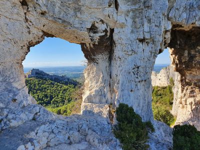
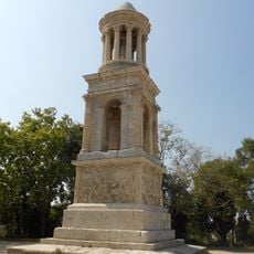
Rocher des Deux Trous
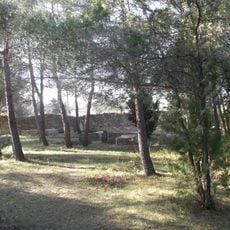
Rocher des Deux Trous is a rock formation near Saint-Rémy-de-Provence in the Alpilles range, named for its two natural openings that resemble windows carved by erosion. The weathered rock stands among low hills and olive groves, offering views across the surrounding countryside typical of the Provence landscape.
The formation developed over thousands of years through natural erosion as wind and weather shaped the soft limestone and created the two characteristic openings. Local people used the rock as a landmark for centuries when crossing the hills.
The ascent takes about an hour on paths that wind between wildflowers and shrubs, with sturdy footwear recommended for the rocky sections. Access may be restricted during summer months due to fire risk, so visitors should check local guidance before planning.
Vincent van Gogh painted the landscape around this rock during his stay in Saint-Rémy, capturing the gentle slopes and olive groves in his work. The two openings frame portions of the sky perfectly at certain times of day, creating a natural window to the landscape beyond.
The community of curious travelers
AroundUs brings together thousands of curated places, local tips, and hidden gems, enriched daily by 60,000 contributors worldwide.