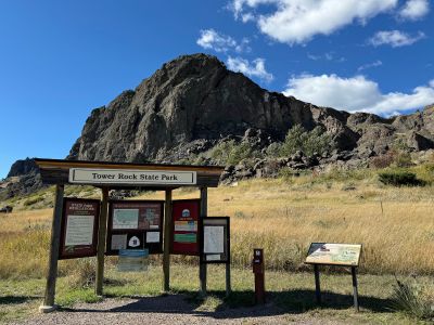
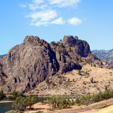
Tower Rock State Park
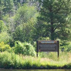
Tower Rock State Park is a Montana nature preserve centered on a distinctive rock formation that rises approximately 424 feet above the surrounding landscape. The 140-acre park includes a well-maintained quarter-mile trail to the rock's base and interpretive panels at the trailhead that explain its geological composition and historical significance.
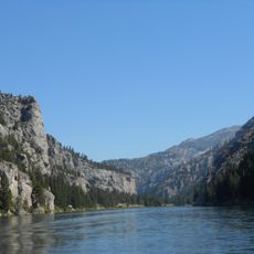
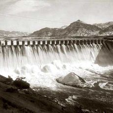
In 1805, explorer Meriwether Lewis of the Lewis and Clark Expedition documented the rock formation in his journal as a notable landmark along the Missouri River. For centuries before and after, traders and fur trappers also recognized it as a vital navigation point on their westbound journeys.
The rock served as a navigation landmark for Native American tribes traveling through the region centuries before European arrival. Visitors today can grasp how significant this location was for the indigenous peoples who knew and used this land long before recorded history.
The park is open daily during daylight hours only and offers parking and toilet facilities but has no overnight accommodations or camping. Visitors should bring water and wear proper footwear, exiting before dark.
For years the rock formation went unrecognized as a historic site until a local resident named Cheryl Hutchinson matched it with Lewis' descriptions and helped officials establish it as a protected landmark. This rediscovery led to its inclusion in the Lewis and Clark National Historic Trail.
The community of curious travelers
AroundUs brings together thousands of curated places, local tips, and hidden gems, enriched daily by 60,000 contributors worldwide.