Roudnice nad Labem

Log in to your account

AroundUs is a community-driven map of interesting places, built by curious explorers like you. It grows with every review, story, and photo you share.
Connect to save your favorite spots, contribute locations, and create personalized routes.
Continue with Google
Continue with Apple
Continue with X
Continue with Facebook
Continue with email
By continuing, you accept our Terms and Conditions and our Privacy Policy
Create an account
Add to collection
Map
Suggest a change
Share

Roudnice nad Labem, Historical municipality in Litoměřice District, Czech Republic.

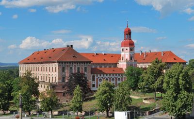
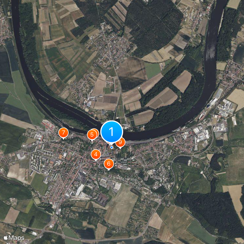
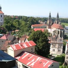
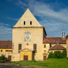
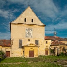
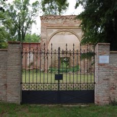
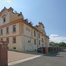
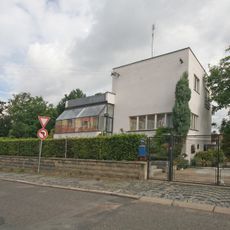
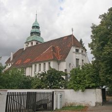
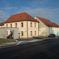
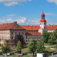
Roudnice nad Labem sits on the left bank of the Elbe River in the lowland plains and spreads across fertile land. The town is defined by a large castle that has shaped its skyline for centuries and has been rebuilt and transformed multiple times.

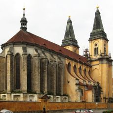
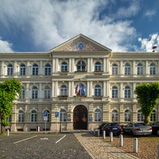
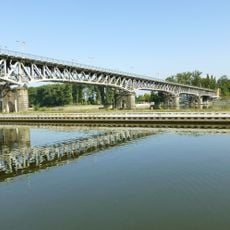
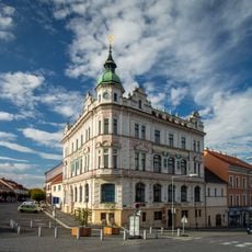
The first stone bridge across the Elbe was built here in 1333 by a bishop's order, making it an important crossing point. In the 17th century, the original castle was transformed into a Baroque palace, giving the town its lasting appearance.

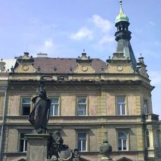
The castle with its art collections and regular exhibitions is now the center of cultural life in town. Visitors can discover historical paintings and contemporary artworks that make this place an important cultural hub for the region.

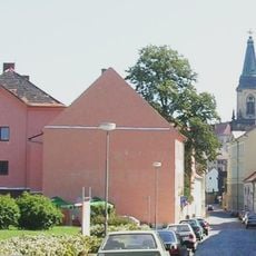
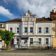
The town is well connected by rail, with a railway line running through the center. Most sights are within walking distance, and the river offers water-based activities during warmer months.

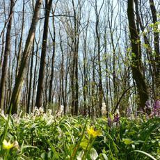
The name comes from a local stream whose iron-rich waters naturally give the water a reddish tint. This geological feature has given the place its distinctive name for centuries.

Location: Litoměřice District

Location: upravni občinski okoliš z razširjenimi pristojnostmi Roudnice nad Labem

Elevation above the sea: 195 m

Reference: CZ0423565555

Shares border with: Kleneč, Krabčice, Vědomice, Židovice, Přestavlky, Nové Dvory, Dobříň, Černěves, Dušníky

Email: mesto@roudnicenl.cz

Website: https://roudnicenl.cz

GPS coordinates: 50.42536,14.26184

Latest update: December 20, 2025 12:35

Photos
Around this place
Roudnice nad Labem Castle
Czech Republic

Roudnice nad Labem Castle

58 m
Church of the Nativity of the Virgin Mary
Czech Republic

Church of the Nativity of the Virgin Mary

361 m
Chapel of Saint Joseph
Czech Republic

Chapel of Saint Joseph

381 m
Augustinian monastery in Roudnice nad Labem
Czech Republic

Augustinian monastery in Roudnice nad Labem

390 m
Kratochvílova rozhledna
Czech Republic

Kratochvílova rozhledna

420 m
Old Jewish cemetery in Roudnice nad Labem
Czech Republic

Old Jewish cemetery in Roudnice nad Labem

915 m
Brewery
Czech Republic

Brewery

137 m
Capuchin monastery in Roudnice nad Labem
Czech Republic

Capuchin monastery in Roudnice nad Labem

161 m
Church of Saint Wenceslaus
Czech Republic

Church of Saint Wenceslaus

143 m
Dobříňský háj
Czech Republic

Dobříňský háj

2.9 km
Městská hláska, Roudnice nad Labem
Czech Republic

Městská hláska, Roudnice nad Labem

189 m
New Jewish cemetery in Roudnice nad Labem
Czech Republic

New Jewish cemetery in Roudnice nad Labem

1.7 km
Synagogue in Roudnice nad Labem
Czech Republic

Synagogue in Roudnice nad Labem

579 m
Town hall in Roudnice nad Labem
Czech Republic

Town hall in Roudnice nad Labem

212 m
Watermill in Roudnice nad Labem
Czech Republic

Watermill in Roudnice nad Labem

436 m
Máchova 1414
Czech Republic

Máchova 1414

454 m
Žižkova 757
Czech Republic

Žižkova 757

1.4 km
Špindlerův most
Czech Republic

Špindlerův most

319 m
Statue of Čechie in Roudnice nad Labem
Czech Republic

Statue of Čechie in Roudnice nad Labem

130 m
Holy Trinity chapel (Roudnice nad Labem)
Czech Republic

Holy Trinity chapel (Roudnice nad Labem)

1.2 km
Evangelical church
Czech Republic

Evangelical church

726 m
Ervin Spindler Library
Czech Republic

Ervin Spindler Library

182 m
Rolnická záložna podřipská
Czech Republic

Rolnická záložna podřipská

244 m
Socha svatého Jana Nepomuckého u kostela Narození Panny Marie v Roudnici nad Labem
Czech Republic

Socha svatého Jana Nepomuckého u kostela Narození Panny Marie v Roudnici nad Labem

388 m
Pomník Josefa Hory v Roudnici nad Labem
Czech Republic

Pomník Josefa Hory v Roudnici nad Labem

497 m
Chapel of Saint Rosalia (Roudnice nad Labem)
Czech Republic

Chapel of Saint Rosalia (Roudnice nad Labem)

1.2 km
Socha Panny Marie ve výklenku zadní zdi kostela Narození Panny Marie v Roudnici nad Labem
Czech Republic

Socha Panny Marie ve výklenku zadní zdi kostela Narození Panny Marie v Roudnici nad Labem

344 m
Tyršův pomník v Tyršových sadech v Roudnici nad Labem
Czech Republic

Tyršův pomník v Tyršových sadech v Roudnici nad Labem

747 m
Show the full map
Reviews

Visited this place? Tap the stars to rate it and share your experience / photos with the community! Try now! You can cancel it anytime.

Administrative divisions
« Roudnice nad Labem - Historical municipality in Litoměřice District, Czech Republic » is provided by Around Us (aroundus.com). Images and texts are derived from Wikimedia project under a Creative Commons license. You are allowed to copy, distribute, and modify copies of this page, under the conditions set by the license, as long as this note is clearly visible.

Discover hidden gems everywhere you go!

From secret cafés to breathtaking viewpoints, skip the crowded tourist spots and find places that match your style. Our app makes it easy with voice search, smart filtering, route optimization, and insider tips from travelers worldwide. Download now for the complete mobile experience.

Around Us App Screenshot

A unique approach to discovering new places

Le Figaro

All the places worth exploring

France Info

A tailor-made excursion in just a few clicks

20 Minutes