
Svatoslav, village in Brno-venkov District of South Moravian region
Location: Тишнов
Location: Brno-Country District
Location: Тишнов
Elevation above the sea: 482 m
Shares border with: Maršov, Velká Bíteš, Braníškov, Deblín, Lesní Hluboké, Přibyslavice
Email: svatoslav@volny.cz
Website: http://svatoslav.cz
GPS coordinates: 49.30180,16.30881
Latest update: March 3, 2025 17:21

Devět křížů
3.9 km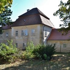
Lesní Hluboké Castle
4 km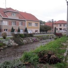
Bílý potok
1.3 km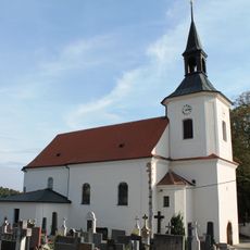
Church of Saint Nicholas
3.6 km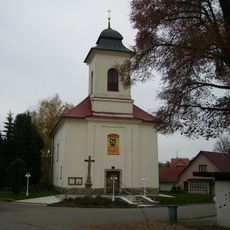
Church of Saints Peter and Paul
3.3 km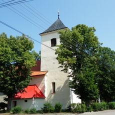
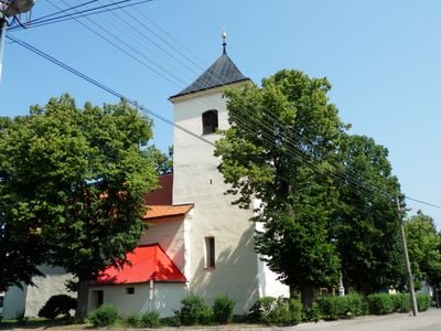
Church of the Assumption of the Virgin Mary (Svatoslav)
74 m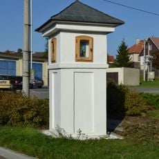
Boží muka
3.4 km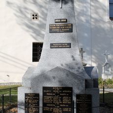
Pomník obětem první světové války
3.6 km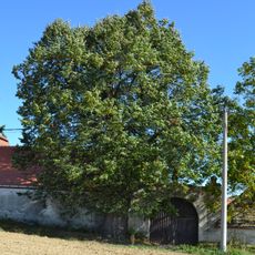
Lípa v Lesním Hlubokém
4.1 km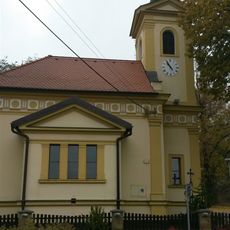
Chapel of the Assumption
4.2 km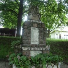
Pomník padlým ve světových válkách
2.7 km
Kříž v Křižínkově
3.8 km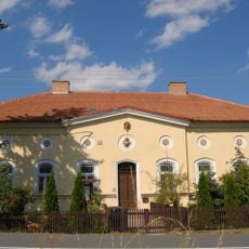
Myslivna
1.9 km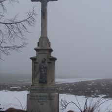
Kříž
3.3 km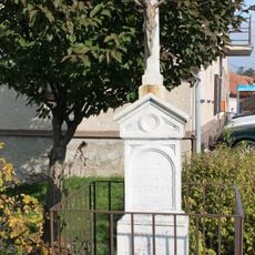
Kříž
3.4 km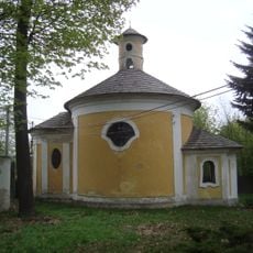
Chapel of Saint Anne
4 km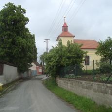
Chapel of Saints Cyril and Methodius
2.8 km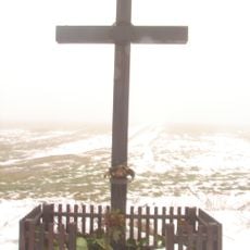
Kříž
2.8 km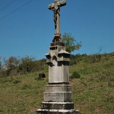
Wayside cross in Prosatín
3.4 km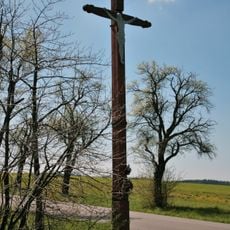
Dřevěný kříž u Křižínkova
3.7 km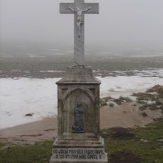
Kříž
2.6 km
Wayside cross in Křižínkov
3.8 km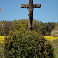
Wayside cross in Prosatín
3.6 km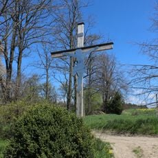
Kříž u Prosatína
3.3 km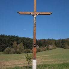
Wayside cross in Blahoňov
3.6 km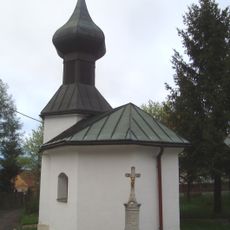
Kříž v Křižínkově
3.8 km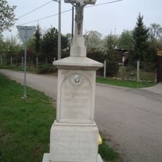
Kříž v Lesním Hlubokém
3.7 km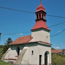
Chapel of the Virgin Mary of the Rosary
3.2 kmReviews
Visited this place? Tap the stars to rate it and share your experience / photos with the community! Try now! You can cancel it anytime.
Discover hidden gems everywhere you go!
From secret cafés to breathtaking viewpoints, skip the crowded tourist spots and find places that match your style. Our app makes it easy with voice search, smart filtering, route optimization, and insider tips from travelers worldwide. Download now for the complete mobile experience.

A unique approach to discovering new places❞
— Le Figaro
All the places worth exploring❞
— France Info
A tailor-made excursion in just a few clicks❞
— 20 Minutes