Havlíčkův Brod

Log in to your account

AroundUs is a community-driven map of interesting places, built by curious explorers like you. It grows with every review, story, and photo you share.
Connect to save your favorite spots, contribute locations, and create personalized routes.
Continue with Google
Continue with Apple
Continue with X
Continue with Facebook
Continue with email
By continuing, you accept our Terms and Conditions and our Privacy Policy
Create an account
Add to collection
Map
Suggest a change
Share

Havlíčkův Brod, District capital in Vysočina Region, Czech Republic

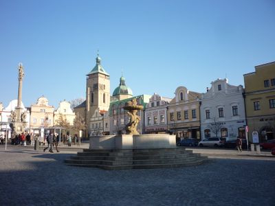
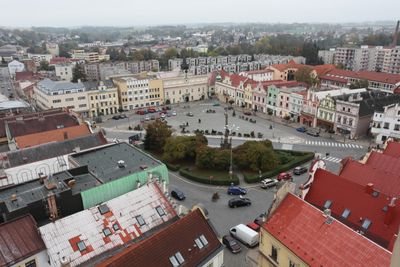
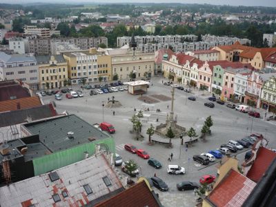
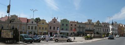
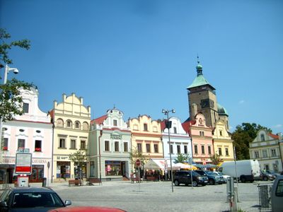
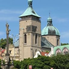
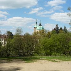
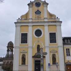
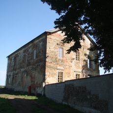
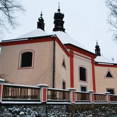
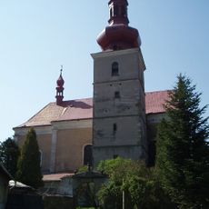
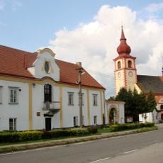
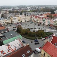
Havlíčkův Brod sits along the Sázava River and functions as an administrative center with numerous historical buildings throughout its layout. The town core centers on several squares and streets displaying Renaissance and later architectural styles.

The settlement received its current name in 1945 to honor writer Karel Havlíček Borovský, replacing its earlier German-based name. This renaming marked a new beginning for the town after World War II.

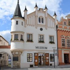
The Vysočina Museum displays works by local artists and objects that reflect how people lived in this region over time. Visitors can see how crafts and local traditions shaped the community.

Trains connect the town to larger centers like Prague and Brno, making travel convenient. Local services such as shops, restaurants, and medical facilities are mostly located in the town center within walking distance.

The Old Town Hall dates from the late 15th century and now houses a public library, showing how older structures find new purposes. The building combines architectural details from different periods in its walls.

Location: Havlíčkův Brod District

Location: upravni občinski okoliš z razširjenimi pristojnostmi Havlíčkův Brod

Elevation above the sea: 422 m

Reference: CZ0631568414

Shares border with: Radostín, Ždírec, Vysoká, Veselý Žďár, Štoky, Šlapanov, Okrouhlice, Pohled, Olešná, Břevnice, Bartoušov, Kyjov, Knyk, Hurtova Lhota, Okrouhlička, Michalovice, Krásná Hora, Krátká Ves, Lípa, Česká Bělá, Horní Krupá

Email: posta@muhb.cz

Website: http://muhb.cz

GPS coordinates: 49.60790,15.58073

Latest update: December 17, 2025 09:41

Photos
Reviews

Visited this place? Tap the stars to rate it and share your experience / photos with the community! Try now! You can cancel it anytime.

« Havlíčkův Brod - District capital in Vysočina Region, Czech Republic » is provided by Around Us (aroundus.com). Images and texts are derived from Wikimedia project under a Creative Commons license. You are allowed to copy, distribute, and modify copies of this page, under the conditions set by the license, as long as this note is clearly visible.

Discover hidden gems everywhere you go!

From secret cafés to breathtaking viewpoints, skip the crowded tourist spots and find places that match your style. Our app makes it easy with voice search, smart filtering, route optimization, and insider tips from travelers worldwide. Download now for the complete mobile experience.

Around Us App Screenshot

A unique approach to discovering new places

Le Figaro

All the places worth exploring

France Info

A tailor-made excursion in just a few clicks

20 Minutes