Enable Location

We need your location to show you interesting places around you

Discover nearby places

Find interesting locations and hidden gems around you

Precise directions

Get accurate directions and distances to places

Your location is never shared with other users. It's only used when you tap the location button.

Jaroměř

Log in to your account

Start exploring — it's free

Trusted by 63,413 travelers worldwide

Continue with Google
Continue with Apple
or

We will send you a code to connect

By continuing, you accept our Terms and Conditions and our Privacy Policy

Check your inbox

We've sent a pincode in your inbox. Please enter the code below.

Discussion Reviews 1 Photos
20.4k Popularity

Jaroměř, Administrative municipality in Náchod District, Czech Republic

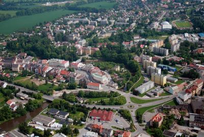
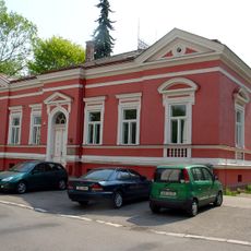
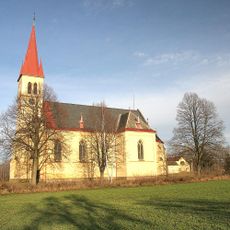
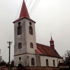
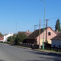
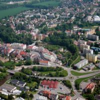
Jaroměř is a municipality with expanded administrative powers in Náchod District in northeastern Bohemia. It comprises several neighborhoods including Josefov, Pražské Předměstí, and Semonice that function together as a regional service hub.

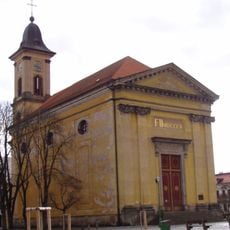
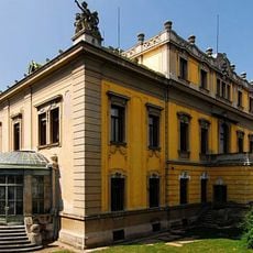
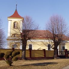
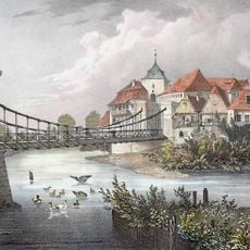
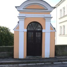
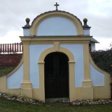
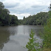
The town traces its roots to medieval times and grew along important trade routes to become a regional center. This location on key commercial paths shaped its role for centuries.

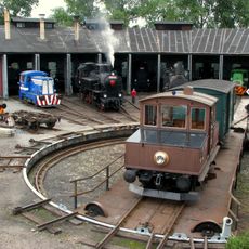
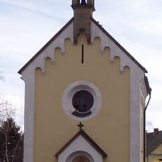
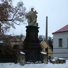
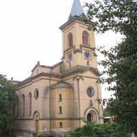
The town center shows traditional craftsmanship that local artisans continue to practice in their workshops. You can see these skills on display during regular exhibitions that celebrate the region's working traditions.

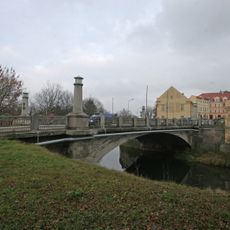
The location sits about 110 kilometers east of Prague and roughly 15 kilometers from Hradec Králové, which makes access by public transport straightforward. When exploring, visitor information centers can help you get your bearings and find what interests you.

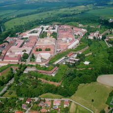
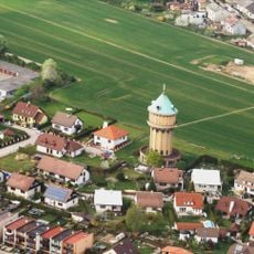
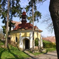
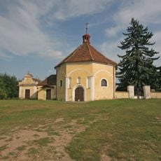
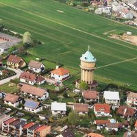
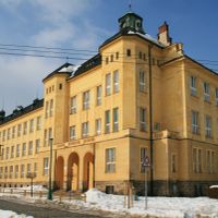
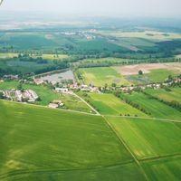
The municipality administers nine separate localities that each keep their own character while working under one central authority. This arrangement allows smaller villages to maintain their identity while benefiting from services provided by the larger administrative center.

The community of curious travelers

AroundUs brings together thousands of curated places, local tips, and hidden gems, enriched daily by 60,000 contributors worldwide.

Start exploring
Location
Elevation above the sea
254 m
Shares border with
Černožice, Dolany, Šestajovice, Vlkov, Zaloňov, Hořenice, Jasenná, Heřmanice, Nový Ples, Rasošky, Rožnov, Rychnovek
GPS coordinates
50.35623,15.92145
Latest update
December 7, 2025 10:06
Reviews
Share your experience

No review yet

Discussions
Start a discussion...

No discussion yet

« Jaroměř - Administrative municipality in Náchod District, Czech Republic » is provided by Around Us (aroundus.com). Images and texts are derived from Wikimedia project under a Creative Commons license. You are allowed to copy, distribute, and modify copies of this page, under the conditions set by the license, as long as this note is clearly visible.

Discover hidden gems everywhere you go!

From secret cafés to breathtaking viewpoints, skip the crowded tourist spots and find places that match your style. Our app makes it easy with voice search, smart filtering, route optimization, and insider tips from travelers worldwide. Download now for the complete mobile experience.

Around Us App Screenshot

A unique approach to discovering new places

Le Figaro

All the places worth exploring

France Info

A tailor-made excursion in just a few clicks

20 Minutes

Around Us
Travel Guide & Maps
Download

Send to your phone

QR Code
1

Open the camera app on your mobile.

2

Point at the QR code with your camera. A notification will appear.

3

Tap the notification to open the link.