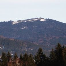
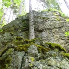
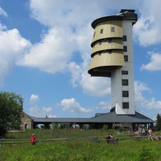
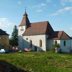
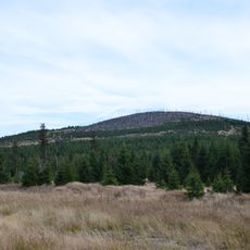
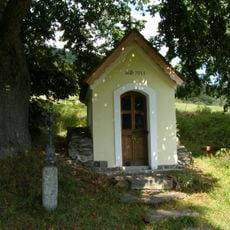
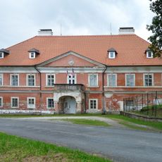
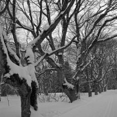
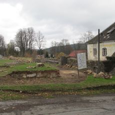
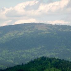
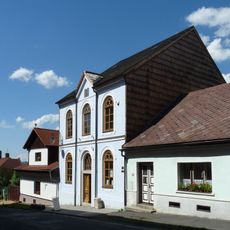
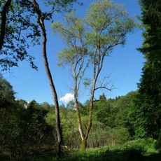
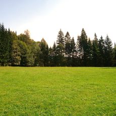
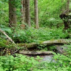
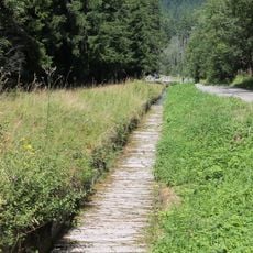
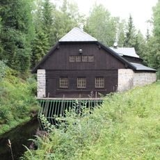
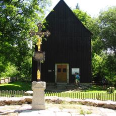
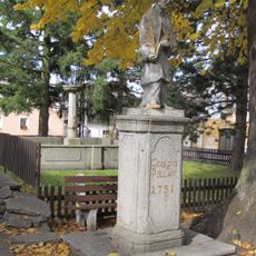
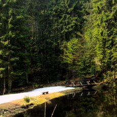
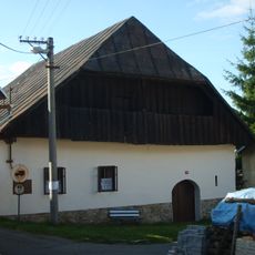
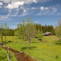
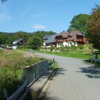
Prášily, village in Klatovy District of Plzeň region
Location: Klatovy District
Location: správní obvod obce s rozšířenou působností Sušice
Elevation above the sea: 880 m
Shares border with: Modrava, Hartmanice, Srní, Železná Ruda, Čachrov, Lindberg
Email: prasily@cmail.cz
Website: http://sumavanet.cz/prasily
GPS coordinates: 49.10524,13.37796
Latest update: March 4, 2025 21:31
Kiesruck
6.3 km
Poledník
4.7 km
Höllbachgspreng
6.2 km
Mittagsberg
4.7 km
Church of Gunther of Bohemia
7.1 km
Church of Saint Catherine
9 km
Lackenberg
4.7 km
Kaple svatého Martina na Zadních Paštích
6 km
Kundratice
8.7 km
Hůrecká alej
4.2 km
Church of Saint Procopius
55 m
Chapel of Saint Gunther of Bohemia
6.2 km
Scheuereckberg
5.4 km
Povrchové doly na zlato
8.2 km
Hamižná
8.3 km
Zhůřský lom
8.2 km
Synagogue in Hartmanice
9.2 km
Žežulka
9.2 km
Totenschädel (Schachten)
7.4 km
Kříženecké mokřady
7.1 km
Lípa Dobrá Voda
7.1 km
Most silnice III/16911 přes Vchynicko-tetovský kanál
6.5 km
Vtokový objekt Mosau
6.8 km
Cemetery chapel of the Holy Cross in Hůrka
4.2 km
Fountain in Hartmanice
9 km
Vila na samotě Karlov
7.4 km
Bestandteil der Regen-Triftanlagen
6.3 km
Usedlost čp. 37
9.1 kmReviews
Visited this place? Tap the stars to rate it and share your experience / photos with the community! Try now! You can cancel it anytime.
Discover hidden gems everywhere you go!
From secret cafés to breathtaking viewpoints, skip the crowded tourist spots and find places that match your style. Our app makes it easy with voice search, smart filtering, route optimization, and insider tips from travelers worldwide. Download now for the complete mobile experience.
A unique approach to discovering new places❞
— Le Figaro
All the places worth exploring❞
— France Info
A tailor-made excursion in just a few clicks❞
— 20 Minutes