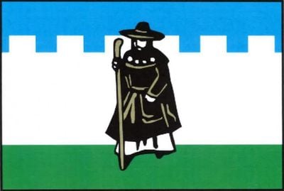
Pelhřimov, Historic municipality in Vysočina Region, Czech Republic
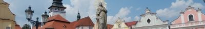
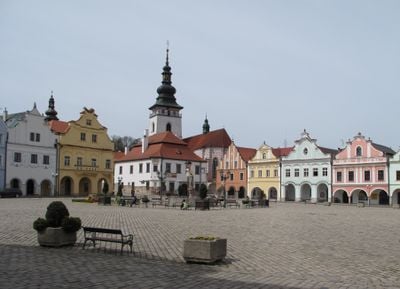
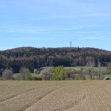
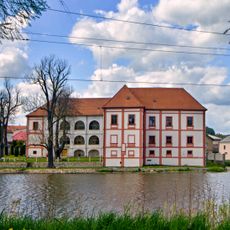
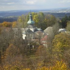
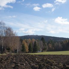
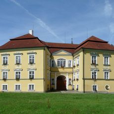
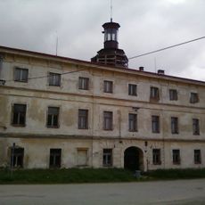
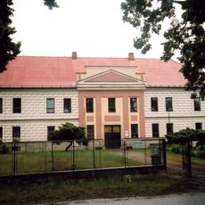
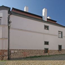
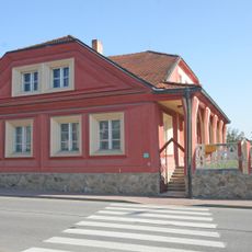
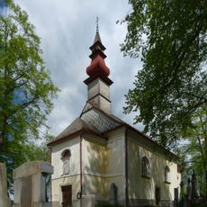
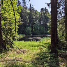
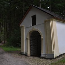
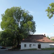
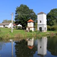
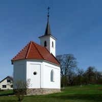
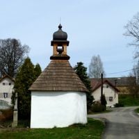
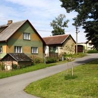
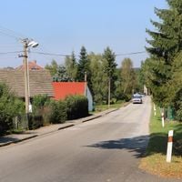
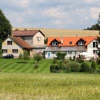
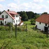
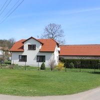
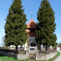
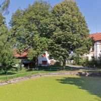
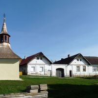
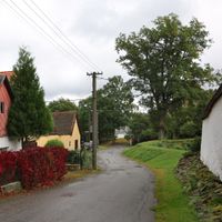
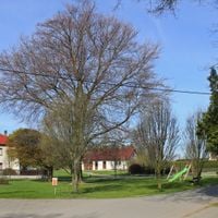
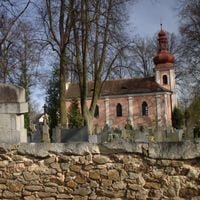
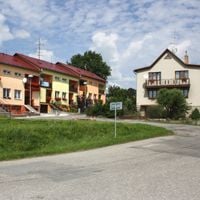
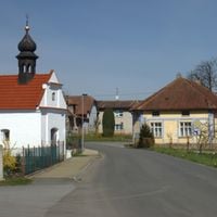
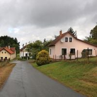
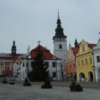
Pelhřimov is a municipality with town privileges located in the Vysočina Region within the Czech Highlands. The center features medieval streets and stone buildings, while the surrounding landscape consists of rolling green hills and open countryside.
The town received town privileges and fortification rights from King Wenceslaus II in 1290 after earlier attacks threatened its survival. This royal recognition helped it grow and become a regional center.
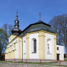
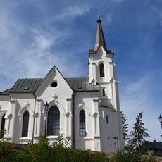
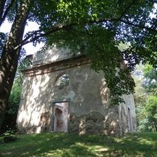
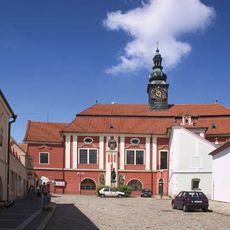
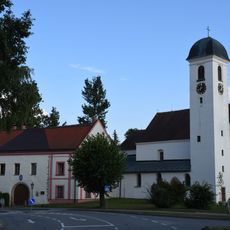
The name comes from a medieval family that shaped the region, and you can still see traces of old fortifications in how the town is built. Locals and visitors gather in the old town square, where markets happen and people meet throughout the year.
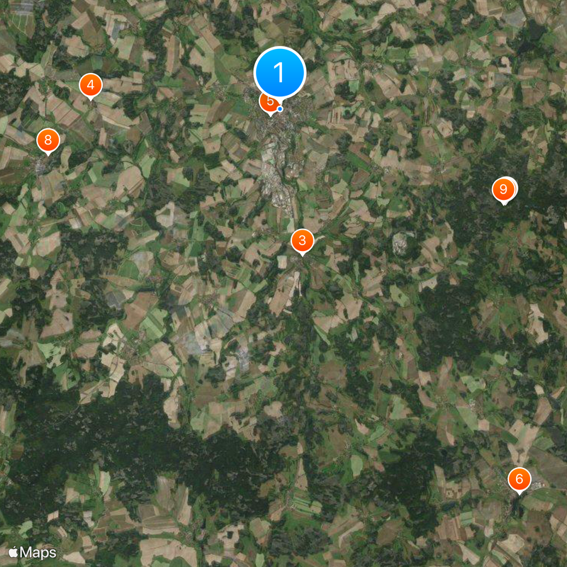
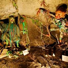
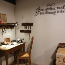
A museum featuring records and unusual collections from across the country offers an interesting stop for curious visitors. The location sits conveniently between larger cities and can be reached by car or train.
The Museum of Records and Curiosities gathers unusual objects and personal achievements from people across the Czech Republic. This distinctive collection transforms the town into an unexpected destination for those drawn to the unconventional.
The community of curious travelers
AroundUs brings together thousands of curated places, local tips, and hidden gems, enriched daily by 60,000 contributors worldwide.