Enable Location

We need your location to show you interesting places around you

Discover nearby places

Find interesting locations and hidden gems around you

Precise directions

Get accurate directions and distances to places

Your location is never shared with other users. It's only used when you tap the location button.

Mohelnice

Log in to your account

Start exploring — it's free

Trusted by 61,691 travelers worldwide

Continue with Google
Continue with Apple
or

We will send you a code to connect

By continuing, you accept our Terms and Conditions and our Privacy Policy

Check your inbox

We've sent a pincode in your inbox. Please enter the code below.

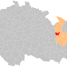
Mohelnice, Administrative town in Šumperk District, Czech Republic

Description

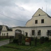
Mohelnice is a town in Šumperk District, Czech Republic, located at an elevation of 267 meters (875 feet). It encompasses seven surrounding villages including Křemačov, Květín, Libivá, Podolí, Řepová, Studená Loučka, and Újezd.

History

The town was first documented in 1141 as part of the Olomouc bishopric and received town status in 1273. It faced attacks from Swedish forces during the Thirty Years' War, a conflict that reshaped much of the region.

Culture

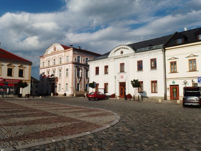
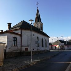
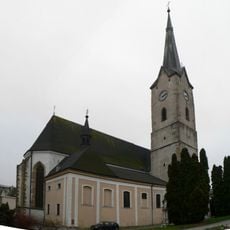
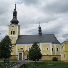
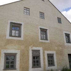
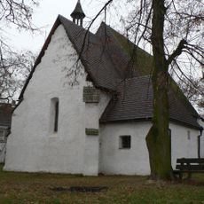
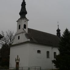
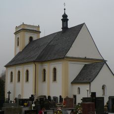
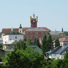
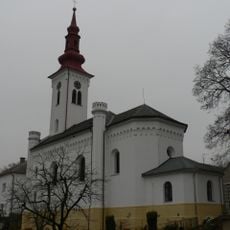
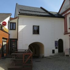
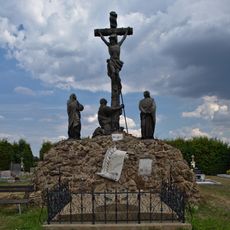
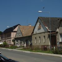
The town square is surrounded by two-story burgher houses that define the center. The Church of Saint Thomas of Canterbury stands as a key landmark, showing how religious spaces shaped daily community life.

Practical

The town connects to major cities via the I/35 road and has railway connections to Prague and Olomouc. These transport links make it easy for visitors to reach the town and explore the surrounding region.

Did you know?

Textile manufacturing started here in 1713, marking the beginning of industrial activity that shaped the town's character. This long tradition of fabric production continues to influence the local economy and built environment today.

Elevation above the sea
267 m
Shares border with
Bohuslavice, Líšnice, Jestřebí, Moravičany, Lukavice, Pavlov, Loštice, Stavenice, Třeština, Mírov, Krchleby, Borušov, Gruna, Městečko Trnávka
GPS coordinates
49.77700,16.91951
Latest update
December 7, 2025 10:08

AroundUs brings together thousands of curated places, local tips, and hidden gems, enriched daily by 60,000 contributors worldwide. Discover all places nearby (Šumperk District).

Around this place
Show the full map
« Mohelnice - Administrative town in Šumperk District, Czech Republic » is provided by Around Us (aroundus.com). Images and texts are derived from Wikimedia project under a Creative Commons license. You are allowed to copy, distribute, and modify copies of this page, under the conditions set by the license, as long as this note is clearly visible.

Discover hidden gems everywhere you go!

From secret cafés to breathtaking viewpoints, skip the crowded tourist spots and find places that match your style. Our app makes it easy with voice search, smart filtering, route optimization, and insider tips from travelers worldwide. Download now for the complete mobile experience.

Around Us App Screenshot

A unique approach to discovering new places

Le Figaro

All the places worth exploring

France Info

A tailor-made excursion in just a few clicks

20 Minutes

Around Us
Travel Guide & Maps
Download

Send to your phone

QR Code
1

Open the camera app on your mobile.

2

Point at the QR code with your camera. A notification will appear.

3

Tap the notification to open the link.