Enable Location

We need your location to show you interesting places around you

Discover nearby places

Find interesting locations and hidden gems around you

Precise directions

Get accurate directions and distances to places

Your location is never shared with other users. It's only used when you tap the location button.

Trutnov

Log in to your account

Start exploring — it's free

Trusted by 61,472 travelers worldwide

Continue with Google
Continue with Apple
or

We will send you a code to connect

By continuing, you accept our Terms and Conditions and our Privacy Policy

Check your inbox

We've sent a pincode in your inbox. Please enter the code below.

Trutnov, Administrative center in northeastern Czech Republic.

Description

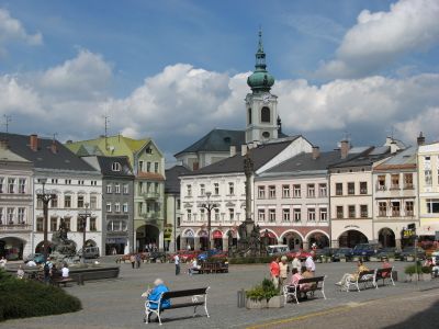
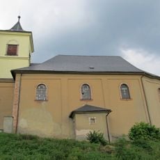
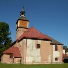
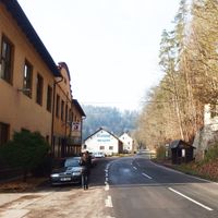
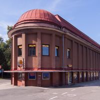
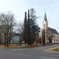
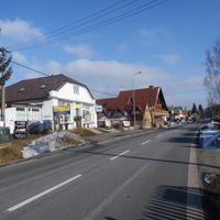
Trutnov is an administrative center in northeastern Bohemia located at 414 meters elevation across multiple districts. The heart of the town features a main square surrounded by arcaded buildings and nineteenth-century structures.

History

The settlement was originally called Úpa and received town privileges in 1260 before becoming a royal possession of King Wenceslaus II in 1301. These early privileges made it an important trading hub in the mountainous region.

Culture

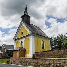
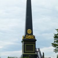
Krakonoš Square displays a fountain honoring the mountain spirit and a trilingual plague column showing the region's mixed heritage. These monuments tell of different peoples who lived together in this place.

Practical

The town is easily reached by direct railway connections to Prague, Kolín, and Vrchlabí, making it a convenient travel hub. Various accommodation options are available near the historic center for different needs.

Did you know?

The Dragon Gallery presents local legends through digital applications, connecting visitors with the dragon symbol featured in the town's coat of arms. This modern museum preserves old stories in innovative ways for future generations.

Location
Inception
1260
Elevation above the sea
414 m
Reference
CZ0525579025
Shares border with
Pilníkov, Vlčice, Staré Buky, Hajnice, Bernartice, Velké Svatoňovice, Žacléř, Zlatá Olešnice, Úpice, Suchovršice, Chvaleč, Mladé Buky, Radvanice
GPS coordinates
50.56105,15.91280
Latest update
December 18, 2025 20:09

AroundUs brings together thousands of curated places, local tips, and hidden gems, enriched daily by 60,000 contributors worldwide. Discover all places nearby (Trutnov District).

« Trutnov - Administrative center in northeastern Czech Republic » is provided by Around Us (aroundus.com). Images and texts are derived from Wikimedia project under a Creative Commons license. You are allowed to copy, distribute, and modify copies of this page, under the conditions set by the license, as long as this note is clearly visible.

Discover hidden gems everywhere you go!

From secret cafés to breathtaking viewpoints, skip the crowded tourist spots and find places that match your style. Our app makes it easy with voice search, smart filtering, route optimization, and insider tips from travelers worldwide. Download now for the complete mobile experience.

Around Us App Screenshot

A unique approach to discovering new places

Le Figaro

All the places worth exploring

France Info

A tailor-made excursion in just a few clicks

20 Minutes

Around Us
Travel Guide & Maps
Download

Send to your phone

QR Code
1

Open the camera app on your mobile.

2

Point at the QR code with your camera. A notification will appear.

3

Tap the notification to open the link.