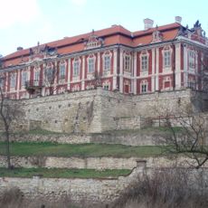
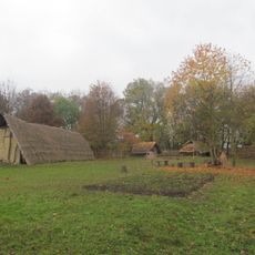
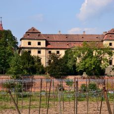
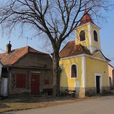
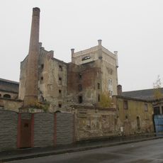
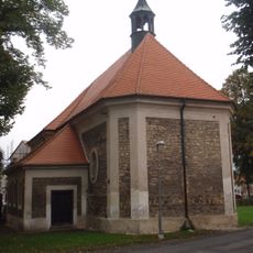
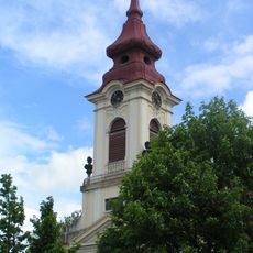
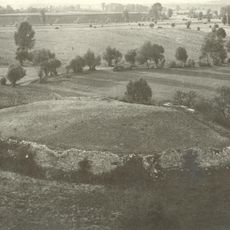
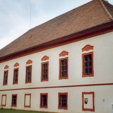
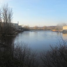
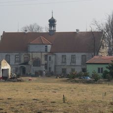
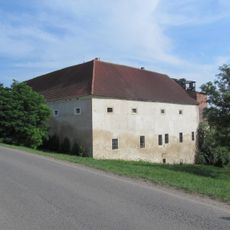
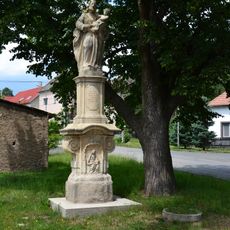
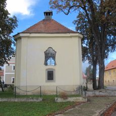
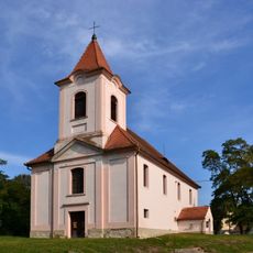
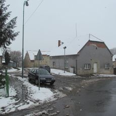
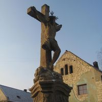
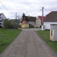
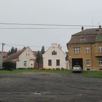
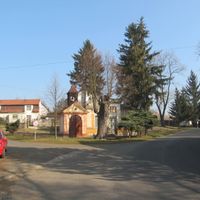
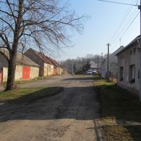
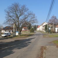
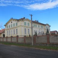
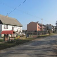
Postoloprty, town in the Czech Republic
Location: Louny District
Location: správní obvod obce s rozšířenou působností Louny
Elevation above the sea: 193 m
Shares border with: Lišany, Zálužice, Výškov, Jimlín, Staňkovice, Lipno, Lenešice, Louny, Bitozeves, Břvany
Email: mu@postoloprty.cz
Website: http://postoloprty.cz
GPS coordinates: 50.35988,13.70300
Latest update: March 11, 2025 00:08
Stekník Castle
7 km
Nový Hrad
5.6 km
Březno
3 km
Postoloprty Castle
144 m
Chapel of Fourteen Holy Helpers
3.7 km
Údolí Hasiny u Lipence
4.4 km
Březno u Postoloprt
2.5 km
Drahúš
1.1 km
Inundation bridge in Postoloprty
271 m
Postoloprty Brewery
39 m
Římskokatolická farnost Lenešice
4.5 km
Church of the Assumption
183 m
Březno (hill fort)
1.4 km
Jewish cemetery
4.2 km
Lenešice Castle
4.5 km
Church of Saints Simon and Jude
4.5 km
Strkovice Castle
5.3 km
Březenský mlýn
2.3 km
Mradice Castle
3.8 km
Bitozeves Castle
4.4 km
Chain bridge in Postoloprty
405 m
Church of Saint John the Baptist
1.6 km
Římskokatolická farnost Bitozeves
4.6 km
Chapel of Saint Anne in Strkovice
5.4 km
Church of Saint Michael in Bitozeves
4.5 km
Church of Saints Simon and Jude
5.6 km
Tvrz
5.5 km
Church of Saint Wenceslaus
4.9 kmReviews
Visited this place? Tap the stars to rate it and share your experience / photos with the community! Try now! You can cancel it anytime.
Discover hidden gems everywhere you go!
From secret cafés to breathtaking viewpoints, skip the crowded tourist spots and find places that match your style. Our app makes it easy with voice search, smart filtering, route optimization, and insider tips from travelers worldwide. Download now for the complete mobile experience.
A unique approach to discovering new places❞
— Le Figaro
All the places worth exploring❞
— France Info
A tailor-made excursion in just a few clicks❞
— 20 Minutes