Chest opened
+${chestReward.xp} XP
Explorer
NOUVEAU ×${chestReward.collectible.quantity}
tapez pour fermer

See the monuments around you in AR Open chests in the app

Around Us is built for your phone — point your camera at the streets and discover the monuments and places around you in augmented reality. Around Us is built for your phone — chests unlock when you walk, explore and capture nearby places.

•

Enable Location

We need your location to show you interesting places around you

Discover nearby places

Find interesting locations and hidden gems around you

Precise directions

Get accurate directions and distances to places

Your location is never shared with other users. It's only used when you tap the location button.

Šerák

Log in to your account

Start exploring — it's free

Trusted by 92,121 travelers worldwide

Continue with Google
Continue with Apple
or

We will send you a code to connect

By continuing, you accept our Terms and Conditions and our Privacy Policy

Check your inbox

We've sent a pincode in your inbox. Please enter the code below.

Šerák, Mountain summit in Jeseníky, Czech Republic

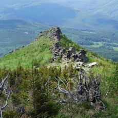
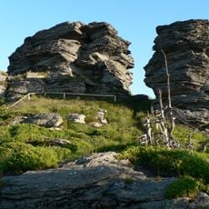
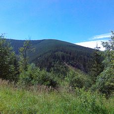
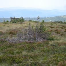
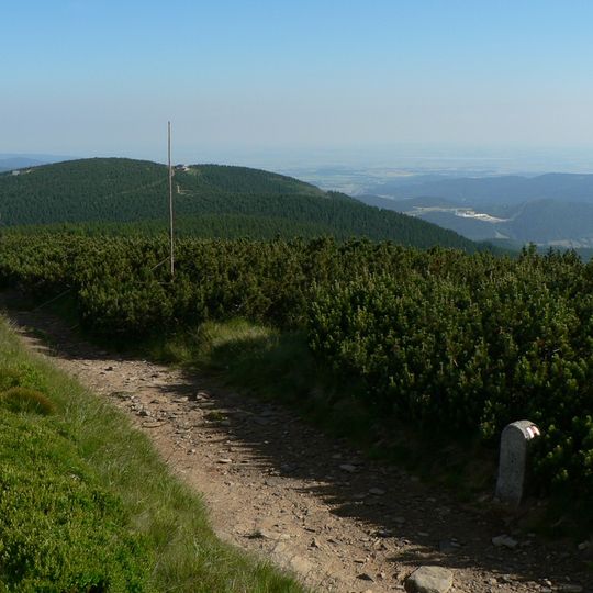
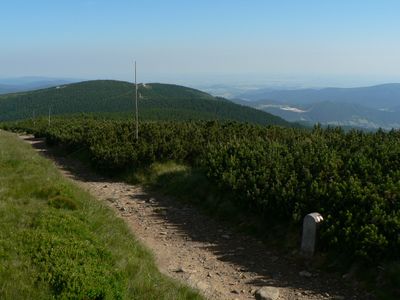
Hochschar (Czech: Šerák) is a 1351 m summit in the Hrubý Jeseník range, on the historic border of Moravia and Silesia. Its slopes fall steeply north into the Vražedný potok valley, where the Obří skály rock group rises, and south towards Keprník. The summit lies in dense dwarf pine and is not a viewpoint.

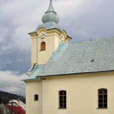
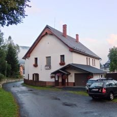
The wooden Chata Jiřího was built here in 1888 by the Mährisch-Schlesischer Sudetengebirgverein on land provided by Cardinal Georg Kopp of Wrocław, after whom it is named. It burned down in 1893, was replaced by a stone shelter in 1894 and enlarged to its present form in 1926.

Chata Jiřího, the stone hut at 1,323 m, is named after Cardinal Georg Kopp of Wrocław, who handed over the land for the first wooden shelter built in 1888 by the Mährisch-Schlesischer Sudetengebirgverein. It burned in 1893, reopened as a stone refuge in 1894 and was enlarged in 1926; Šerák, an 11° pale lager from the Holba brewery in Hanušovice, is on tap.

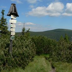
The summit itself lies in a reserve and has no marked trail; a contour path links the upper cable-car station with Chata Jiřího at 1323 m. The two-section chairlift from Ramzovské sedlo runs year-round, its lower station about 700 m from Ramzová railway stop.

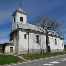
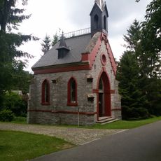
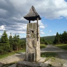
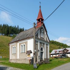
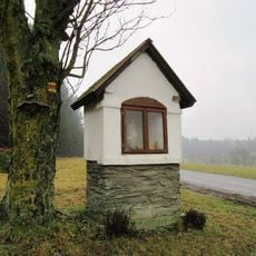
The summit itself lies in a dense stand of dwarf pine and is not a viewpoint; a geodetic point marked 16. on survey maps sits on the grassy top at 1350.78 m. About 70 m south of Chata Jiřího, at roughly 1325 m, stands a stone bell tower.

The community of curious travelers

AroundUs brings together thousands of curated places, local tips, and hidden gems, enriched daily by 92,121 contributors worldwide.
Start exploring
GPS coordinates
50.18669,17.10667
Latest update
October 21, 2026 18:46
Reviews
Share your experience

No review yet

Discussions
Start a discussion...

No discussion yet

« Šerák - Mountain summit in Jeseníky, Czech Republic » is provided by Around Us (aroundus.com). Images and texts are derived from Wikimedia project under a Creative Commons license. You are allowed to copy, distribute, and modify copies of this page, under the conditions set by the license, as long as this note is clearly visible.

Discover hidden gems everywhere you go!

From secret cafés to breathtaking viewpoints, skip the crowded tourist spots and find places that match your style. Our app makes it easy with voice search, smart filtering, route optimization, and insider tips from travelers worldwide. Download now for the complete mobile experience.
Around Us App Screenshot
❝

A unique approach to discovering new places❞

— Le Figaro

❝

All the places worth exploring❞

— France Info

❝

A tailor-made excursion in just a few clicks❞

— 20 Minutes

Around Us
Travel Guide & Maps
Download

Send to your phone

QR Code
1

Open the camera app on your mobile.

2

Point at the QR code with your camera. A notification will appear.

3

Tap the notification to open the link.