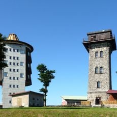
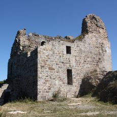
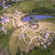
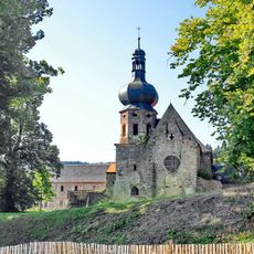
Český les Protected Landscape Area, Protected landscape area in Plzeňský kraj, Czech Republic.
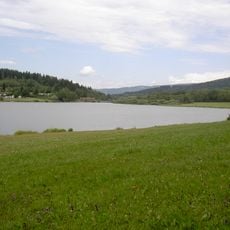
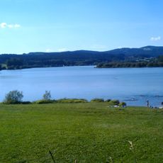
Český les Protected Landscape Area is a landscape protection zone in Plzeňský kraj covering more than 470 square kilometers of varied terrain. The region features deep forests, open meadows, and several mountain peaks, with Čerchov standing as the highest elevation.
Český les PLA was declared on 1 August 2005 as the 25th protected landscape area of the Czech Republic, with its administration based in Přimda. Most of the area had been emptied after the forced expulsion of the predominantly German inhabitants following World War II, and until the fall of the Communist regime in 1989 it lay within the Western border zone, virtually uninhabited.
The area has no permanent settlements, only a few restored hamlets, and many meadows and pastures are now used for cattle raising. The beech and mixed fir-beech forests are valuable well-preserved habitats, though spruce plantations replaced them across much of the original area.
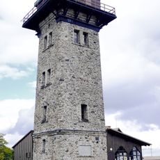
The D5 motorway separates the two parts of the protected area, and the zone next to the highway was left outside it. The PLA has no permanent settlements, only a few restored hamlets, so plan supplies and shelter accordingly. The terrain runs from 440 m up to Čerchov at 1,042 m, and the House of Nature of the Český les is in Klenčí pod Čerchovem.
The geological foundation consists of Moldanubicum pluton rocks with granite, gneiss, and schist formations dating back to Paleozoic and Proterozoic times. These ancient rock layers shape the surface forms and the type of stones that hikers encounter throughout the region.
The community of curious travelers
AroundUs brings together thousands of curated places, local tips, and hidden gems, enriched daily by 94,476 contributors worldwide.