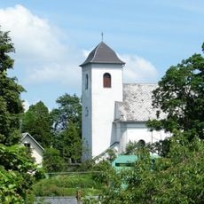
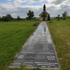
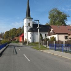
Červená hora, Extinct volcano in Budišov nad Budišovkou, Czech Republic
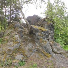
Červená hora is an extinct volcano located in the Opava District and forms a prominent elevation in the surrounding landscape. The mountain displays geological features that reveal its volcanic origins through distinct rock formations and soil composition.
The mountain formed through volcanic activity in the distant geological past that shaped the entire region. The area later became strategically significant during regional conflicts of the 18th century.
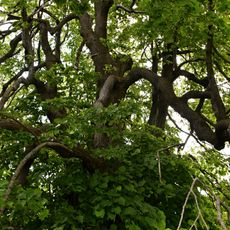
The name Red Mountain refers to the reddish-colored soils and rocks shaped by its volcanic past. Visitors can still observe this distinctive coloring in the landscape today.
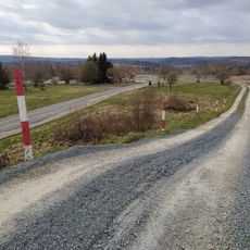
The mountain is accessible via hiking trails that start from several points in the surrounding area. Visitors should prepare for changing weather conditions and bring appropriate gear for walking on slopes.
Nearby remnants of other volcanoes such as the Roudný mountains are visible in the surroundings, revealing that this area was once a center of volcanic activity. These different volcanic forms help visitors understand the various types of past eruptions.
The community of curious travelers
AroundUs brings together thousands of curated places, local tips, and hidden gems, enriched daily by 60,000 contributors worldwide.