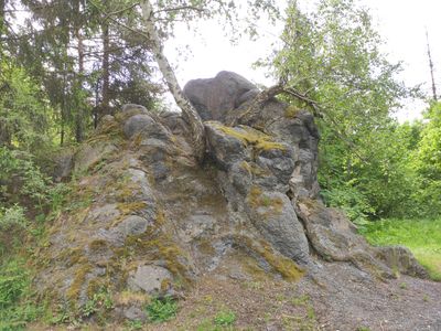
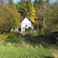
Lávový suk Červená hora, Volcanic formation in Norberčany, Czech Republic
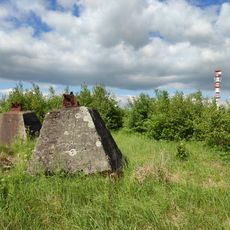
Červená hora is an extinct volcano in the Hrubý Jeseník range reaching 1333 meters elevation and displays metamorphic rock formations. The steep slopes are covered with dense coniferous forests and offer views across the surrounding mountain landscape.
The mountain served for centuries as a natural boundary between the historical regions of Silesia and Moravia. This border position shaped its importance in the territorial organization of the Bohemian lands across extended periods.
The name refers to the reddish tones visible on the mountain's surface, caused by minerals in the rock formations. Visitors notice this distinctive coloring while walking through the different elevation zones of the summit.
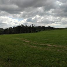
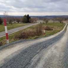
Access is via unmarked paths through dense pine forests requiring careful navigation. Hikers should bring proper equipment and be dressed appropriately for changing weather and rough terrain.
The mountain sits on the European watershed and directs water in different directions to river systems flowing toward both the Baltic and Black seas. This hydrographic role makes it a point where water shapes different continental basins.
Location: Norberčany
GPS coordinates: 49.77502,17.52467
Latest update: December 12, 2025 17:46
Church of Saint Anne and Saint James the Greater
5.1 km
Pomník obětem bitvy u Guntramovic
1.2 km
Chapel of Saint John of Nepomuk
1.2 km
Bývalá navigační věž
1.3 km
Červená hora
1.2 km
Church of the Exaltation of the Holy Cross
6 km
Chapel of Saint Anne
5.6 km
Windmill in Město Libavá
6 km
Church of Saint James the Greater
4.4 km
Zlatá lípa
488 m
Cvičiště řízení bojových vozidel Libavský vrch
5.8 km
Stone bridge in Město Libavá
6.1 km
Památník založení 53. PTP (pracovně-technického praporu) na náměstí v Libavé
6 km
Cesta Česko-německého porozumění
1.2 km
Smírčí kříž
4.5 km
Bývalá fara
4.5 km
Statue of John of Nepomuk in Norberčany
2.6 km
Pomník bitvy 30. 6. 1758
4.9 km
Church of Saint Anthony of Padua
2.6 km
Chapel of the Nativity of the Virgin Mary
3.2 km
Boží muka u severní strany kostela ve Staré Vodě
5.1 km
Boží muka u jižní strany kostela ve Staré Vodě
5.1 km
Pamětní kříž u křižovatky silnic jihovýchodně od Nové Vésky
3.4 km
Pomník padlým v první světové válce u kostela ve Staré Vodě
5.1 km
Boží muka na východním okraji obce při silnici na Budišov nad Budišovkou
5.1 km
Battle of Guntramovice memorial
1.2 km
Wayside cross in Podlesí
5.1 km
Kaple sv. Anny se studánkou jižně od poutního místa ve Staré Vodě
5.6 kmVisited this place? Tap the stars to rate it and share your experience / photos with the community! Try now! You can cancel it anytime.
Discover hidden gems everywhere you go!
From secret cafés to breathtaking viewpoints, skip the crowded tourist spots and find places that match your style. Our app makes it easy with voice search, smart filtering, route optimization, and insider tips from travelers worldwide. Download now for the complete mobile experience.
A unique approach to discovering new places❞
— Le Figaro
All the places worth exploring❞
— France Info
A tailor-made excursion in just a few clicks❞
— 20 Minutes