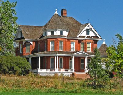
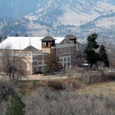
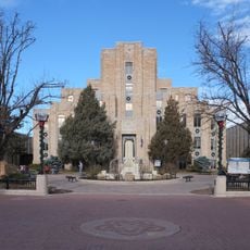
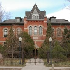
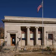
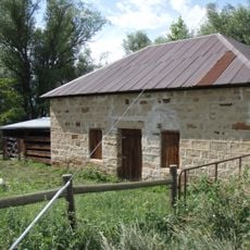
Boulder County Poor Farm, place in Colorado listed on National Register of Historic Places
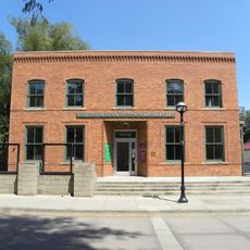
Boulder County Poor Farm was an institution in Boulder County that provided shelter and work to people without other means of support. The property included residential buildings, a basic hospital facility, and farmland where residents performed agricultural labor to sustain the operation.
The farm developed as a response to poverty in the region and represents one of the earliest organized efforts by the community to provide structured assistance. Over time, the services evolved and the institution eventually closed, yet its buildings remain as historical records.
The place reflects how the community cared for those in need long before modern social systems existed. The remaining buildings and grounds offer insight into an early form of organized local support.
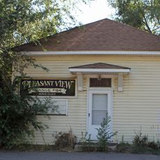
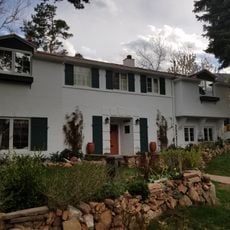
The property features several preserved buildings from different periods that visitors can explore to understand how the place operated. Walking through the site reveals the layout of living areas and work spaces, helping you imagine the daily routines that took place there.
Residents produced much of their own food through farm work rather than simply receiving charity, reflecting a philosophy that emphasized self-reliance and labor. This self-sustaining approach set the operation apart from other poor relief systems of the era.
The community of curious travelers
AroundUs brings together thousands of curated places, local tips, and hidden gems, enriched daily by 60,000 contributors worldwide.