Chest opened
+${chestReward.xp} XP
Explorer
NOUVEAU ×${chestReward.collectible.quantity}
tapez pour fermer
Chest locked

Open chests in the app

Around Us is built for your phone — chests unlock when you walk, explore and capture nearby places.

Enable Location

We need your location to show you interesting places around you

Discover nearby places

Find interesting locations and hidden gems around you

Precise directions

Get accurate directions and distances to places

Your location is never shared with other users. It's only used when you tap the location button.

Log in to your account

Start exploring — it's free

Trusted by 72,981 travelers worldwide

Continue with Google
Continue with Apple
or

We will send you a code to connect

By continuing, you accept our Terms and Conditions and our Privacy Policy

Check your inbox

We've sent a pincode in your inbox. Please enter the code below.

Marshalee
Discussion Reviews Photo
1.2k Popularity

Marshalee, Residential area in Elkridge, Maryland, United States.

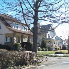
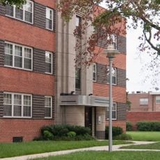
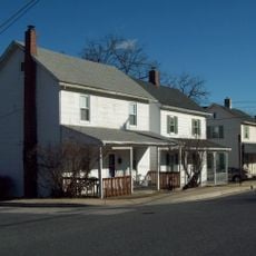
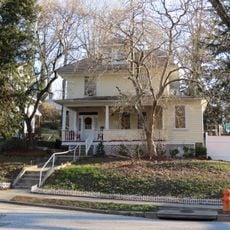
Marshalee is a residential neighborhood in Elkridge that mixes single-family homes with small commercial spaces along its main thoroughfare. The area maintains a typical suburban feel with convenient access to nearby retail and dining options.

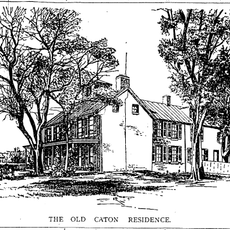
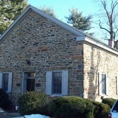
The area sits within Elkridge, one of Maryland's early settlements founded during the 1700s. Marshalee itself developed primarily from the mid-1900s onward as suburban growth expanded between Baltimore and Washington, D.C.

The neighborhood reflects Maryland's suburban expansion, positioned between Baltimore and Washington DC, with influences from both metropolitan areas.

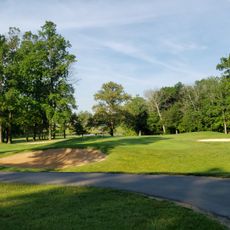
The neighborhood sits near major roads making it easy to reach nearby shopping and dining options. Visitors will find good connections to surrounding communities and larger metropolitan areas.

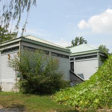
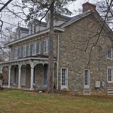
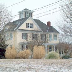
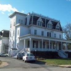
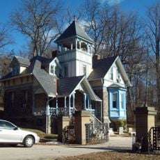
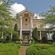
Local residential architecture demonstrates the evolution of Maryland suburban design across different construction periods from the 1970s to present day.

The community of curious travelers

AroundUs brings together thousands of curated places, local tips, and hidden gems, enriched daily by 60,000 contributors worldwide.

Start exploring
GPS coordinates
39.33330,-76.75000
Latest update
December 14, 2025 18:02
Around this place
Patapsco Valley State Park
United States of America

Patapsco Valley State Park

5.5 km
Sudbrook Park
United States of America

Sudbrook Park

4 km
Daniels Mill
United States of America

Daniels Mill

5.7 km
Ambassador Theater
United States of America

Ambassador Theater

4.8 km
Carrie Murray Nature Center
United States of America

Carrie Murray Nature Center

5.5 km
Choate House
United States of America

Choate House

7.3 km
Linwood Childrens Center
United States of America

Linwood Childrens Center

458 m
Old Catonsville Historic District
United States of America

Old Catonsville Historic District

6.8 km
Summit
United States of America

Summit

7.3 km
Elmonte
United States of America

Elmonte

6.9 km
Lorraine Park Cemetery Gate Lodge
United States of America

Lorraine Park Cemetery Gate Lodge

3.6 km
Castle Thunder
United States of America

Castle Thunder

7 km
Mount Gilboa Chapel
United States of America

Mount Gilboa Chapel

7 km
St. Mary's Episcopal Church
United States of America

St. Mary's Episcopal Church

3.4 km
Howard Park P.S. 218
United States of America

Howard Park P.S. 218

4.5 km
Wester Ogle
United States of America

Wester Ogle

6.5 km
Mettam Memorial Baptist Church
United States of America

Mettam Memorial Baptist Church

5.6 km
Samester Parkway Apartments
United States of America

Samester Parkway Apartments

5.2 km
Dumbarton Historic District
United States of America

Dumbarton Historic District

5.9 km
Winters Lane Historic District
United States of America

Winters Lane Historic District

6.1 km
Elmer V. McCollum House
United States of America

Elmer V. McCollum House

6.1 km
Diamond Ridge Golf Couse
United States of America

Diamond Ridge Golf Couse

2.1 km
Benjamin Banneker Historical Park and Museum
United States of America

Benjamin Banneker Historical Park and Museum

7.4 km
Old Catonsville High School
United States of America

Old Catonsville High School

6.8 km
Linnwood
United States of America

Linnwood

5.6 km
Lower Elysville Bridge (1853)
United States of America

Lower Elysville Bridge (1853)

6 km
Lower Elysville Bridge (1868)
United States of America

Lower Elysville Bridge (1868)

6 km
Lower Elysville Bridge (1838)
United States of America

Lower Elysville Bridge (1838)

6 km
Show the full map
Reviews
Share your experience

No review yet

Discussions
Start a discussion...

No discussion yet

« Marshalee - Residential area in Elkridge, Maryland, United States » is provided by Around Us (aroundus.com). Images and texts are derived from Wikimedia project under a Creative Commons license. You are allowed to copy, distribute, and modify copies of this page, under the conditions set by the license, as long as this note is clearly visible.

Discover hidden gems everywhere you go!

From secret cafés to breathtaking viewpoints, skip the crowded tourist spots and find places that match your style. Our app makes it easy with voice search, smart filtering, route optimization, and insider tips from travelers worldwide. Download now for the complete mobile experience.

Around Us App Screenshot

A unique approach to discovering new places

Le Figaro

All the places worth exploring

France Info

A tailor-made excursion in just a few clicks

20 Minutes

Around Us
Travel Guide & Maps
Download

Send to your phone

QR Code
1

Open the camera app on your mobile.

2

Point at the QR code with your camera. A notification will appear.

3

Tap the notification to open the link.