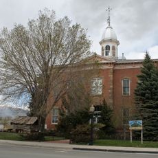
Browns Canyon National Monument, National Monument in Chaffee County, Colorado, US
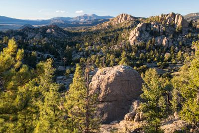
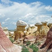
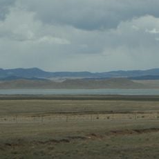
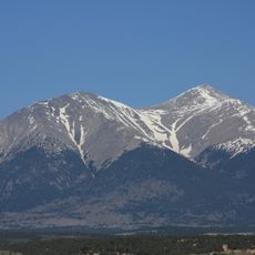
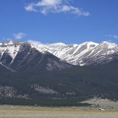
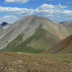
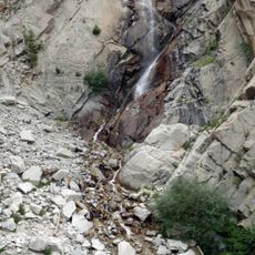
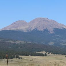
Browns Canyon National Monument is a protected area featuring granite outcroppings, wooded drainages, and the Arkansas River flowing through its center on federal and state lands. The landscape combines rock formations, mixed vegetation, and the river ecosystem into a single interconnected environment.
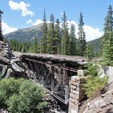
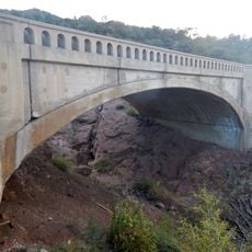
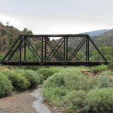
The region hosted Native American populations for thousands of years before European arrival brought mining activities and railroad construction that reshaped the area. These shifts from indigenous habitation to industrial development left different marks on the landscape.
The canyon's dramatic granite walls shape how visitors experience this landscape, drawing people to fish, hike, and camp along the river throughout the year. Local communities view it as a vital outdoor recreation hub that connects people directly with the wilderness.
Visitors should be prepared for uneven terrain and shifts between wooded areas and open spaces. Access to main trailheads and recreation sites requires appropriate permits or passes, so check requirements before visiting.
The Arkansas River earned recognition as a premier trout fishery, making it a destination where anglers find thriving populations of brown and rainbow trout. This status reflects the river's health and the abundance that draws fishing enthusiasts regularly.
Location: Chaffee County
Inception: February 19, 2015
Operator: BLM;USFS
Website: https://fs.fed.us/visit/browns-canyon-national-monument
GPS coordinates: 38.61190,-106.06000
Latest update: December 6, 2025 16:03
Colorado features natural areas and historical sites away from common routes. The locations range from sand formations at Paint Mines Park to Zapata waterfalls. Bishop Castle displays hand-built stone architecture in the forest, while Devil's Causeway presents narrow rock bridges in the wilderness. Fossil discoveries, dinosaur tracks, and abandoned mining towns document the state's history.
Mount Antero
17.6 km
Mount Princeton
22 km
Antero Reservoir
43.4 km
Mount Shavano
15.6 km
Arkansas Headwaters Recreation Area
10.1 km
Mount Columbia
38.5 km
Tabeguache Peak
16.7 km
Cronin Peak
20 km
Agnes Vaille Falls
19.4 km
Carbonate Mountain
19.6 km
Morley Bridge
27.4 km
F Street Bridge
10.2 km
Grace Church
26.3 km
Bridge over Arkansas River
22.8 km
Alexander House
10.6 km
Heister House
9.9 km
J. M. Bonney House
26.7 km
Chaffee County Courthouse and Jail Buildings
26.4 km
Salida Regional Library
10.6 km
Gas Creek School
12.5 km
East Buffalo Peak
42 km
Poncha Springs Schoolhouse
10.9 km
Maysville School
13.9 km
Bode-Stewart House
10.6 km
Valley View School
8.6 km
E.W. Corbin House
10.7 km
Rouch Gulch Bridge
22.2 km
Badger Creek Bridge
23.8 kmReviews
Visited this place? Tap the stars to rate it and share your experience / photos with the community! Try now! You can cancel it anytime.
Discover hidden gems everywhere you go!
From secret cafés to breathtaking viewpoints, skip the crowded tourist spots and find places that match your style. Our app makes it easy with voice search, smart filtering, route optimization, and insider tips from travelers worldwide. Download now for the complete mobile experience.
A unique approach to discovering new places❞
— Le Figaro
All the places worth exploring❞
— France Info
A tailor-made excursion in just a few clicks❞
— 20 Minutes