Point San Quentin, Coastal geographical landmark in San Francisco Bay, United States.
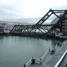
Point San Quentin is a headland that juts into San Francisco Bay near San Rafael, forming a distinct boundary where the water meets the shoreline. The point creates natural variations in water depth and conditions that have shaped how vessels move through the northern bay.
Spanish settlers named this point after Saint Quentin during the 18th century, and the name appeared on U.S. navigation charts by the 1800s. It became an established landmark for mapping and maritime reference throughout the northern bay region.
Maritime maps and navigation records demonstrate how Point San Quentin served as a crucial reference point for ships entering San Francisco Bay.
The point is visible from both land and water, making it easy to spot as a natural orientation landmark in the northern bay area. Daytime visits offer the best views of the surrounding waters and shoreline, while visitors should be aware of strong tidal currents common to this region.
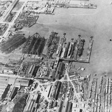
An early ropewalk factory once operated near the shoreline here, producing cordage and rigging supplies for ships passing through the bay. This industrial site reflected the broader pattern of waterfront manufacturing that supported the region's maritime trade.
The community of curious travelers
AroundUs brings together thousands of curated places, local tips, and hidden gems, enriched daily by 60,000 contributors worldwide.