
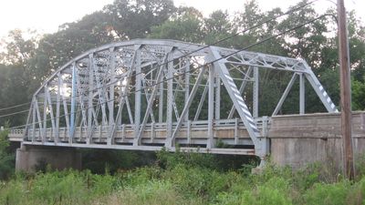
Indiana State Highway Bridge 42-11-3101
Indiana State Highway Bridge 42-11-3101
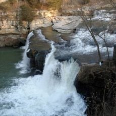
Cataract Falls
15.6 km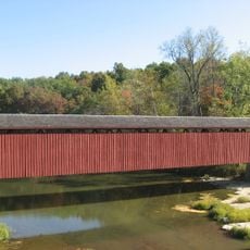
Cataract Falls Covered Bridge
15.6 km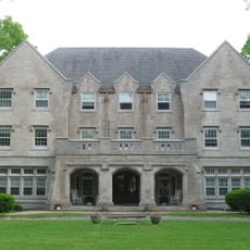
Delta Kappa Epsilon Fraternity House
25 km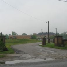
Clay County Hospital
13.8 km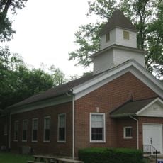
Putnamville Presbyterian Church
18.1 km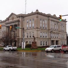
Courthouse Square Historic District
24.8 km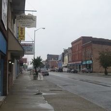
Brazil Downtown Historic District
14.4 km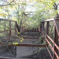
Aqueduct Bridge
20.7 km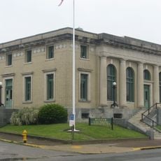
United States Post Office
14.4 km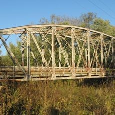
Indiana State Highway Bridge 46-11-1316
7.1 km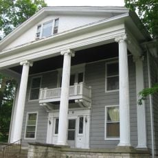
Eastern Enlargement Historic District
24.9 km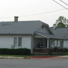
Old Greencastle Historic District
24.9 km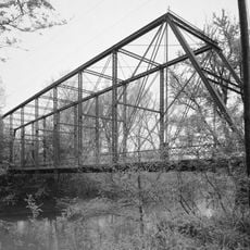
Feeder Dam Bridge
15.9 km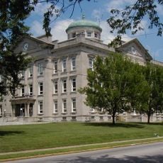
Clay County Courthouse
14 km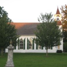
Poland Presbyterian Church and Cemetery
3.4 km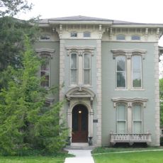
F.P. Nelson House
24.8 km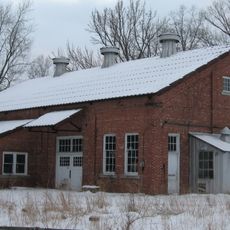
Tide Water Pumping Station
21.8 km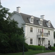
William C. Van Arsdel House
25.2 km
Alfred Hirt House
24.6 km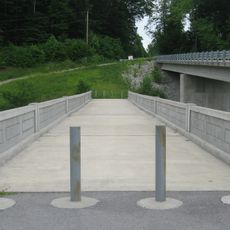
Putnam County Bridge No. 159
12.5 km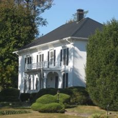
Moffett-Ralston House
14.6 km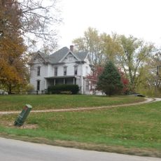
Lycurgus Stoner House
17 km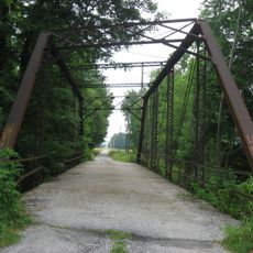
Jeffers Bridge
16 km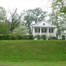
Eaglefield Place
11.6 km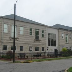
Meridian-Forest Historic District
14.6 km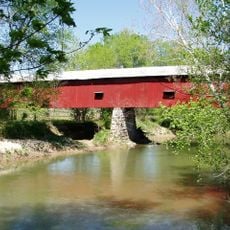
Houck Covered Bridge
16 km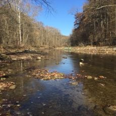
Big Walnut Creek
6.7 km
Dills Ford Bridge
25.4 kmReviews
Visited this place? Tap the stars to rate it and share your experience / photos with the community! Try now! You can cancel it anytime.
Discover hidden gems everywhere you go!
From secret cafés to breathtaking viewpoints, skip the crowded tourist spots and find places that match your style. Our app makes it easy with voice search, smart filtering, route optimization, and insider tips from travelers worldwide. Download now for the complete mobile experience.

A unique approach to discovering new places❞
— Le Figaro
All the places worth exploring❞
— France Info
A tailor-made excursion in just a few clicks❞
— 20 Minutes