
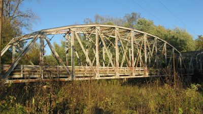
Indiana State Highway Bridge 46-11-1316
Indiana State Highway Bridge 46-11-1316, road bridge in Washington Township, Clay County, Indiana
Location: Washington Township
GPS coordinates: 39.38417,-87.02056
Latest update: September 23, 2025 16:46
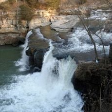
Cataract Falls
18.7 km
McCormick's Creek State Park
27.1 km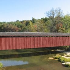
Cataract Falls Covered Bridge
18.7 km
Clay County Hospital
17.9 km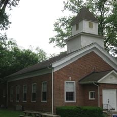
Putnamville Presbyterian Church
25 km
Owen County Courthouse
25.8 km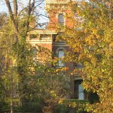
David Enoch Beem House
24 km
Vigo County Home for Dependent Children
27.1 km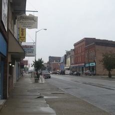
Brazil Downtown Historic District
18 km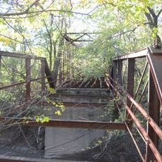
Aqueduct Bridge
15.1 km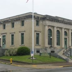
United States Post Office
18 km
Clay County Courthouse
17.8 km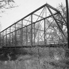
Feeder Dam Bridge
9.6 km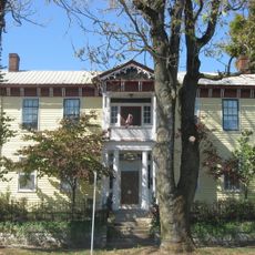
Allison-Robinson House
24.7 km
Poland Presbyterian Church and Cemetery
8.8 km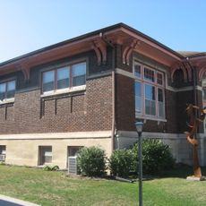
Spencer Public Library
25 km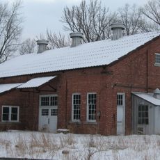
Tide Water Pumping Station
14.8 km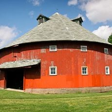
Frank Senour Round Barn
26.3 km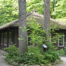
CCC Recreation Building-Nature Museum
27.3 km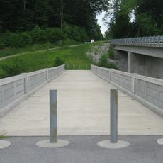
Putnam County Bridge No. 159
19.6 km
Moffett-Ralston House
10.7 km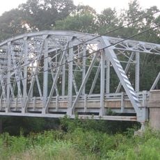
Indiana State Highway Bridge 42-11-3101
7.1 km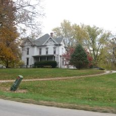
Lycurgus Stoner House
24 km
Eaglefield Place
18.2 km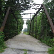
Jeffers Bridge
10.9 km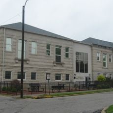
Meridian-Forest Historic District
18.2 km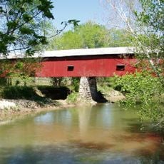
Houck Covered Bridge
23.1 km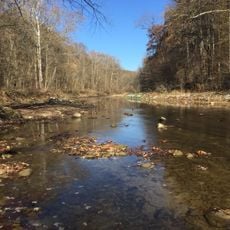
Big Walnut Creek
13.7 kmReviews
Visited this place? Tap the stars to rate it and share your experience / photos with the community! Try now! You can cancel it anytime.
Discover hidden gems everywhere you go!
From secret cafés to breathtaking viewpoints, skip the crowded tourist spots and find places that match your style. Our app makes it easy with voice search, smart filtering, route optimization, and insider tips from travelers worldwide. Download now for the complete mobile experience.

A unique approach to discovering new places❞
— Le Figaro
All the places worth exploring❞
— France Info
A tailor-made excursion in just a few clicks❞
— 20 Minutes