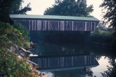
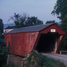
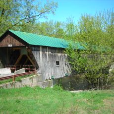
Gorham Covered Bridge
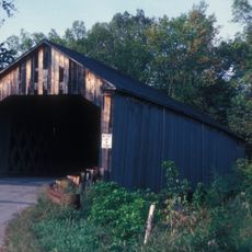
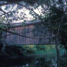
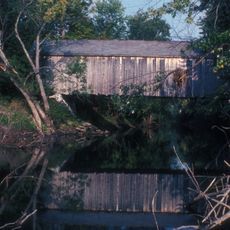
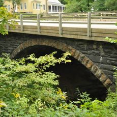
Gorham Covered Bridge is a wood structure with a roof built in 1841 in Pittsford that crosses Otter Creek and remains in use for traffic today. The bridge spans over 100 feet with vertical wooden siding and was designed using lattice truss construction, where criss-crossing wooden pieces create a strong support system.
Built in 1841 by Abraham Owen and Nicholas M. Powers, two skilled builders of the era, the bridge represents early bridge-building methods in Vermont. It is one of only a few bridges constructed by Powers that remain standing, making it significant to the region's engineering history.
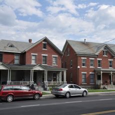
The bridge connects Pittsford and Proctor, serving as a landmark in the rural landscape where local communities built with available materials and traditional methods. It reflects how people once moved through the land and how the region valued durable construction as part of daily life.
The bridge is accessible by vehicle and on foot via Gorham Bridge Road connecting the two towns. Visitors can drive or walk through at their own pace to observe the wooden structure and the creek below.
The bridge was added to the National Register of Historic Places in 1974, recognizing it as one of the rare surviving bridges built by renowned builder Nicholas M. Powers. This designation highlights its importance as a craftsmanship legacy from Vermont's early construction era.
The community of curious travelers
AroundUs brings together thousands of curated places, local tips, and hidden gems, enriched daily by 60,000 contributors worldwide.