
Devil's Kettle, Natural water formation in East Cook, Minnesota
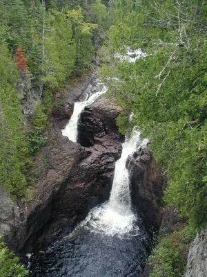
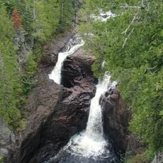
The Devil's Kettle splits the Brule River into two sections, with one stream falling into a standard waterfall and another disappearing into a deep hole.
Native American tribes in the region incorporated the Devil's Kettle into their oral traditions, marking it as a significant geographical landmark through generations.
Scientists and visitors have conducted numerous experiments with dyes, ping pong balls, and GPS trackers to determine where the water from the kettle emerges.
Access to Devil's Kettle requires a 1.1-mile hike through Judge C. R. Magney State Park, including climbing approximately 200 stairs along the trail.
Recent hydrological studies indicate that the water entering the kettle actually rejoins the Brule River downstream, solving a long-standing geological mystery.
Location: East Cook
GPS coordinates: 47.82927,-90.04957
Latest update: May 11, 2025 13:19

Minnesota contains numerous locations away from the main tourist circuits. The state stretches from the shores of Lake Superior to the southern prairies, encompassing historic lighthouses, underground mines, waterfalls, and Japanese gardens. Visitors find both natural landscapes and cultural sites that tell the story of the region's history. Notable locations include prehistoric rock carvings at Jeffers Petroglyphs Site, where indigenous peoples left their marks thousands of years ago, and sacred trees of Ojibwe culture. The geological formation known as Devil's Kettle, a waterfall whose course puzzled scientists for years, attracts visitors interested in natural phenomena. Historic mines provide insight into Minnesota's industrial past, while lighthouses recall the maritime history along the largest of the Great Lakes.
Judge C. R. Magney State Park
2.5 km
Eagle Mountain
38.9 km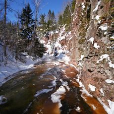
Superior Hiking Trail
65.4 km
Kakabeka Falls
71.2 km
Witch Tree
33.7 km
Height of Land Portage
48.9 km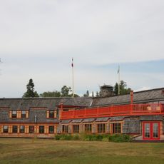
Naniboujou Club Lodge
1.4 km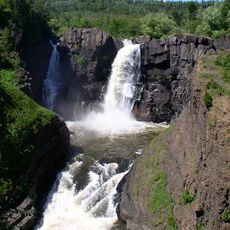
Grand Portage State Park
39 km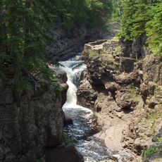
Temperance River State Park
68.8 km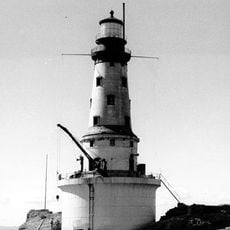
Rock of Ages Light
55.2 km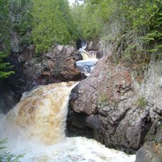
Cascade River State Park
37.8 km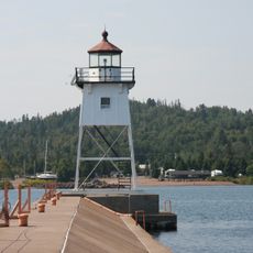
Grand Marais Light
23.5 km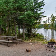
Grand Portage State Forest
14.2 km
Johns Hotel
61.3 km
North Shore Commercial Fishing Museum
65 km
Schroeder Lumber Company Bunkhouse
70.9 km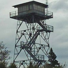
New Feldtmann Fire Tower
71.5 km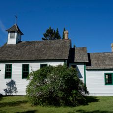
Church of St. Francis Xavier
21.2 km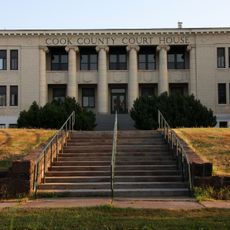
Cook County Courthouse
22.8 km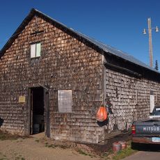
Jim Scott Fishhouse
23.5 km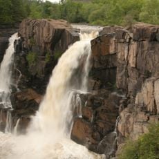
Pigeon River Provincial Park
40.3 km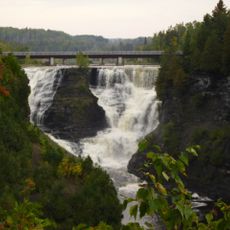
Kakabeka Falls Provincial Park
70.7 km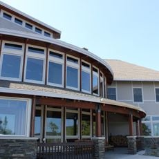
Heritage Visitors Center - Grand Portage National Monument
30.8 km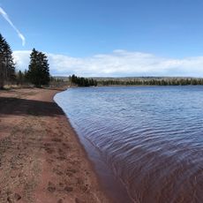
Carnelian Beach
78.5 km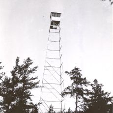
Cascade Lookout Tower
42 km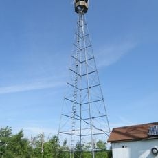
Hovland Lookout Tower
6.7 km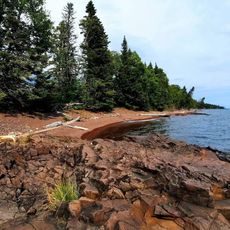
Paradise Beach
2.9 km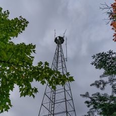
Devilfish Lookout Tower
17.3 kmReviews
Visited this place? Tap the stars to rate it and share your experience / photos with the community! Try now! You can cancel it anytime.
Discover hidden gems everywhere you go!
From secret cafés to breathtaking viewpoints, skip the crowded tourist spots and find places that match your style. Our app makes it easy with voice search, smart filtering, route optimization, and insider tips from travelers worldwide. Download now for the complete mobile experience.

A unique approach to discovering new places❞
— Le Figaro
All the places worth exploring❞
— France Info
A tailor-made excursion in just a few clicks❞
— 20 Minutes