Superior Hiking Trail, Long-distance trail in Minnesota
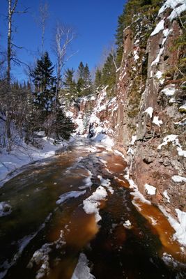
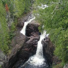
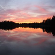
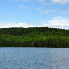
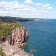
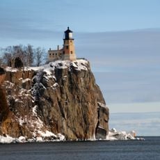
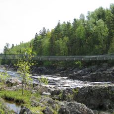
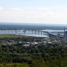
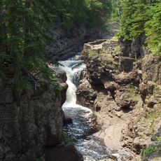
The Superior Hiking Trail is a long-distance path in the state of Minnesota that stretches roughly 310 miles (500 kilometers) along the shore of Lake Superior. The route begins near the Wisconsin border and ends at the Canadian border, passing through wooded valleys and over rocky ridgelines.
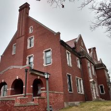
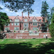
Planning and construction of the path began in the mid-1980s with support from state funding in Minnesota. A nonprofit organization formed specifically for this purpose has coordinated maintenance and expansion of the route since then.
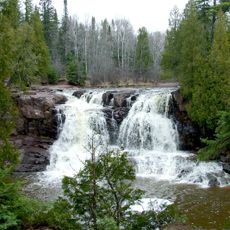
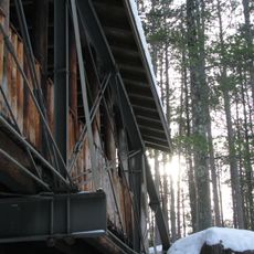
Local hikers use the path year-round, while its name recalls the lake that accompanies the entire route. Many sections pass through areas of dense mixed forest, where maple trees turn the hillsides orange and red in autumn.
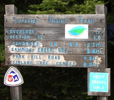
Free campsites are spaced roughly 5 to 8 miles (8 to 13 kilometers) apart along the route and can be used without advance booking. Hikers should carry their own food and gear, as many sections lie far from towns.
An ultramarathon covering 100 miles (161 kilometers) has taken place annually on this route since 1991, drawing long-distance runners from different regions. Participants tackle steep climbs and technical sections within a limited time frame.
The community of curious travelers
AroundUs brings together thousands of curated places, local tips, and hidden gems, enriched daily by 60,000 contributors worldwide.