Temperance River State Park, State park in Cook County, United States.
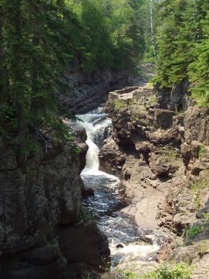
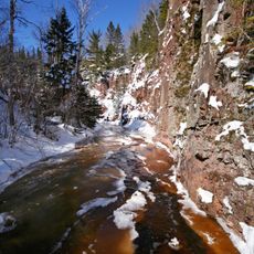
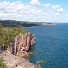
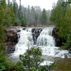
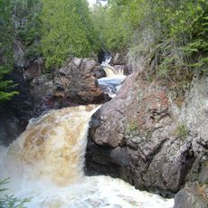
Temperance River State Park is a Minnesota state park in Tofte Township along the North Shore of Lake Superior, where a river cuts through dark volcanic rock on its way to the lake. Along the river, the water has carved narrow gorges, rounded potholes, and small waterfalls into the ancient bedrock.
Before European settlement, the Anishinaabe people used the river valley as seasonal hunting and gathering land. In 1864, surveyors gave the river its name after noticing it was the only river along this stretch of shore that had no sandbar at its mouth.
The river's name comes from a surveyor's observation that it had no bar at its mouth, unlike the other rivers nearby. Today, hikers walk along the gorge and watch the water move through narrow passages cut into dark volcanic rock.
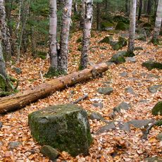
The park sits right off Highway 61 on the North Shore, making it easy to reach by car. The trails along the gorge are rocky and steep in places, so sturdy footwear is a good idea, especially after rain.
Where the river meets Lake Superior, the two bodies of water are sometimes visibly different in color, as the river's flow pushes into the lake before the waters mix. This brief meeting point, right at the river mouth, is one of the few spots along the shore where you can see it so clearly.
The community of curious travelers
AroundUs brings together thousands of curated places, local tips, and hidden gems, enriched daily by 60,000 contributors worldwide.